UN/LOCODE hub · United States
USTRW
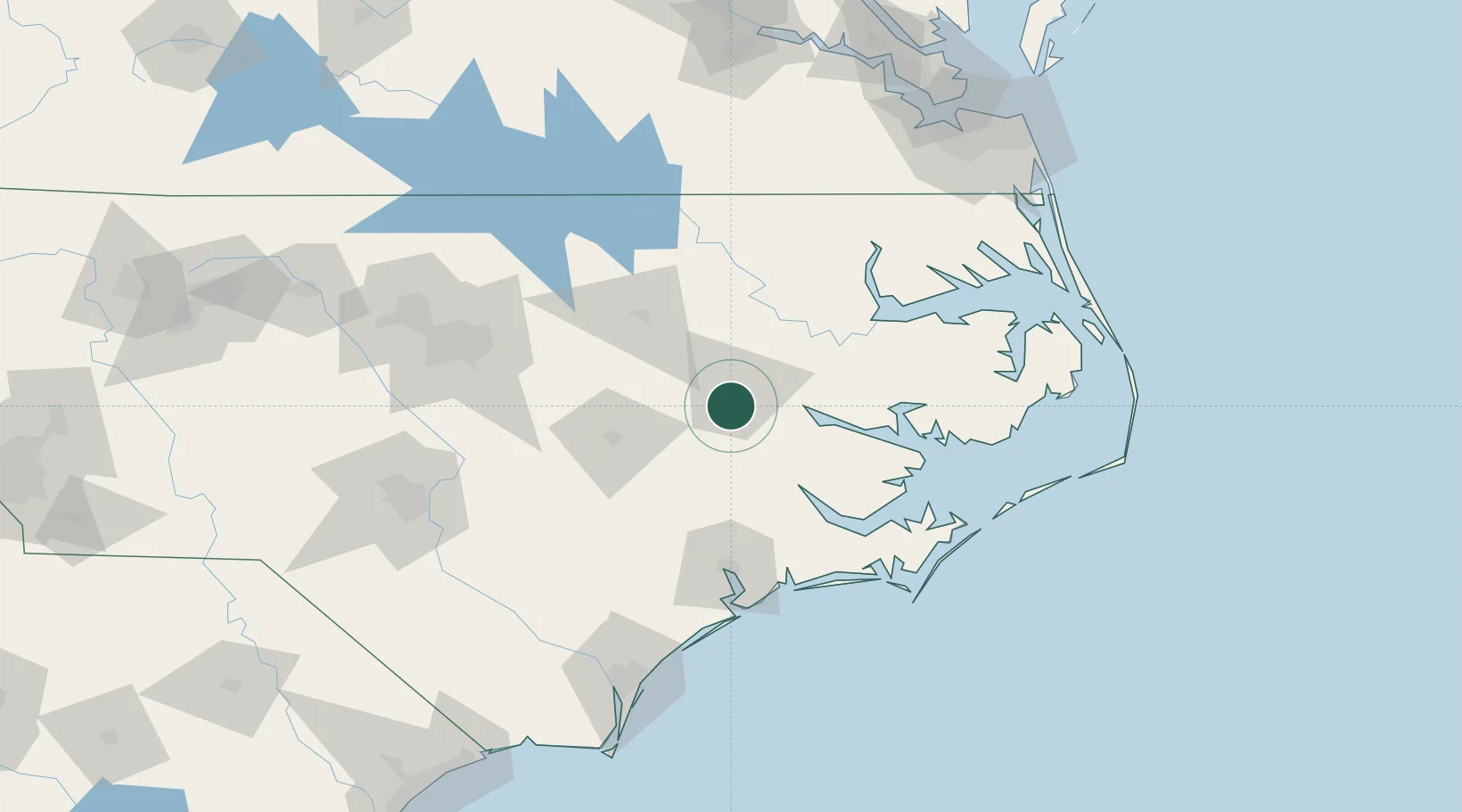
Winterville
35.5333°, -77.4000°
9,464
Population
3
Transport functions
Transport Functions
Rail
Road
Multimodal
Hub Profile
Place type
Populated place
Region
North Carolina
Population
9,464
Time zone
America/New_York
Elevation
21 m
Location
Nearby Logistics Neighbours
Cities
- 1Hanrahan15 km
- 2Grifton19 km
- 3Bethel, Pitt30 km
- 4Pinetops35 km
- 5Robersonville35 km
Ports
- 1Washington32 km
- 2New Bern58 km
- 3Plymouth69 km
- 4Belhaven71 km
- 5Edenton91 km
Airports
Trade Zones
- 1FTZ No. 214 Lenoir County57 km
- 2FTZ No. 093 Raleigh Durham142 km
- 3FTZ No. 020 Suffolk171 km
- 4FTZ No. 207 Richmond222 km
- 5FTZ No. 230 Piedmont Triad Area258 km
DatabookThe Record of Consolidated Knowledge
United States beyond logistics?