Transport Functions
Rail
Postal
Hub Profile
Place type
Urban district
Region
Ontario
Time zone
America/Toronto
Elevation
178 m
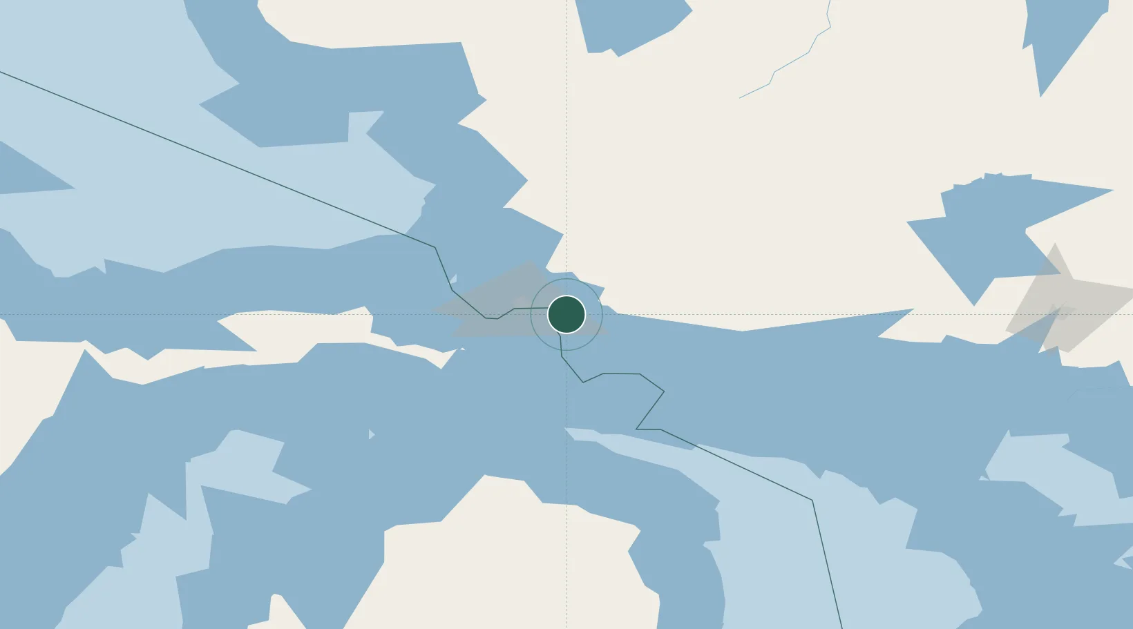
Location
Nearby Logistics Neighbours
Cities
- 1Goulais River37 km
- 2Brimley39 km
- 3Kinross42 km
- 4Rudyard51 km
- 5De Tour Village57 km
Ports
- 1Sault Ste Marie22 km
- 2Sault Ste Marie22 km
- 3Bruce Mines31 km
- 4Goulais Bay43 km
- 5Thessalon46 km
Airports
Trade Zones
- 1FTZ No. 016 Sault Ste. Marie26 km
- 2FTZ No. 140 Flint387 km
- 3FTZ No. 284 Genesee County387 km
- 4FTZ No. 101 Clinton County397 km
- 5FTZ No. 167 Brown County399 km
DatabookThe Record of Consolidated Knowledge
Canada beyond logistics?