Medium airport · Canada
Chapleau AirportCYLD
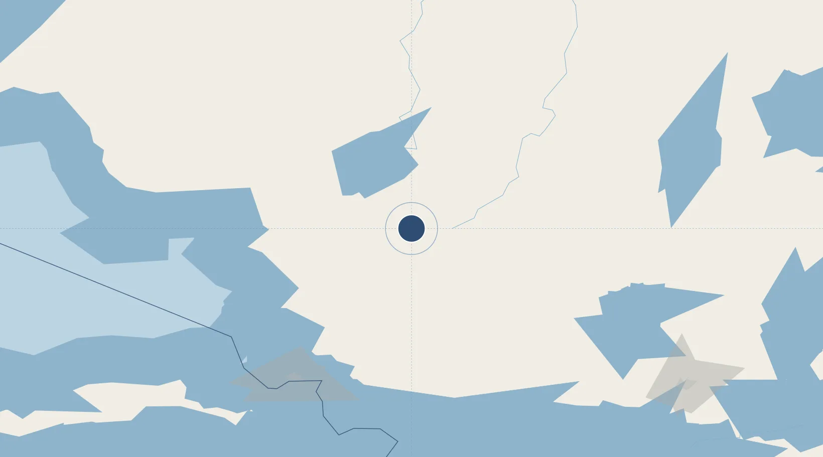
47.8200°, -83.3467°
5,000 ft
Longest runway
2
Runways
1,470 ft
Elevation
Runway & Layout

Radio Frequencies
UNIC
122.8 MHz
ATF/UNICOM
Navaids
YLD NDB Chapleau 335 kHz
Runways · 2
| Runway | Dimensions | Surface | True heading | Lit |
|---|---|---|---|---|
| 10/28 | 5,000 × 100ft | Asphalt | 092° | ✓ |
| 05/23 | 3,000 × 75ft | Asphalt | 039° | ✓ |
Airport Specifications
IATA code
YLD
ICAO code
CYLD
Airport class
Medium airport
Scheduled service
No
Runway surface
Asphalt
Served city
Chapleau
Location
Nearby Logistics Neighbours
Airports
- 1Wawa Airport109 km
- 2Timmins/Victor M. Power168 km
- 3Sault Ste Marie Airport173 km
- 4Elliot Lake Municipal Airport174 km
- 5Hornepayne Municipal Airport185 km
Cities
- 1Gulfport66 km
- 2Goulais River149 km
- 3Echo Bay158 km
- 4Porcupine177 km
- 5Brimley183 km
Ports
- 1Michipicoten117 km
- 2Goulais Bay149 km
- 3Sault Ste Marie164 km
- 4Sault Ste Marie165 km
- 5Bruce Mines174 km
Trade Zones
- 1FTZ No. 016 Sault Ste. Marie169 km
- 2FTZ No. 140 Flint536 km
- 3FTZ No. 284 Genesee County538 km
- 4FTZ No. 101 Clinton County553 km
- 5FTZ No. 210 St. Clair County558 km
DatabookThe Record of Consolidated Knowledge
Canada beyond logistics?