Medium airport · Canada
Timmins/Victor M. PowerCYTS
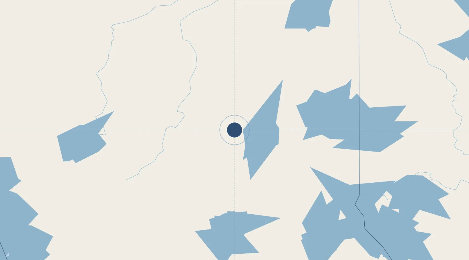
48.5697°, -81.3767°
6,000 ft
Longest runway
2
Runways
967 ft
Elevation
Runway & Layout

Radio Frequencies
ATIS
124.95 MHz
A/G
122.3 MHz
MF
CNTR
128.3 MHz
TORONTO CNTR
RCO
123.55 MHz
LONDON RDO
RDO
122.3 MHz
Navaids
TS NDB Timmins 212 kHz
YTS VOR-DME Timmins 113.00 MHz
Runways · 2
| Runway | Dimensions | Surface | True heading | Lit |
|---|---|---|---|---|
| 03/21 | 6,000 × 150ft | Asphalt | 021° | ✓ |
| 10/28 | 4,903 × 150ft | Asphalt | 090° | ✓ |
Airport Specifications
IATA code
YTS
ICAO code
CYTS
Airport class
Medium airport
Scheduled service
Yes
Runway surface
Asphalt
Served city
Timmins
Location
Nearby Logistics Neighbours
Airports
- 1Cochrane Airport65 km
- 2Kirkland Lake Airport111 km
- 3Kapuskasing Airport123 km
- 4Earlton (Timiskaming Regional) Airport149 km
- 5Chapleau Airport168 km
Cities
- 1Porcupine16 km
- 2Iroquois Falls55 km
- 3Moonbeam102 km
- 4Gulfport162 km
- 5New Liskeard174 km
Ports
- 1Michipicoten269 km
- 2Killarney290 km
- 3Blind River291 km
- 4Little Current291 km
- 5Key Harbour302 km
Trade Zones
- 1FTZ No. 016 Sault Ste. Marie325 km
- 2FTZ No. 034 Niagara County609 km
- 3FTZ No. 118 Ogdensburg620 km
- 4Niagara Foreign Trade Zone635 km
- 5FTZ No. 141 Monroe County644 km
DatabookThe Record of Consolidated Knowledge
Canada beyond logistics?