Transport Functions
Rail
Road
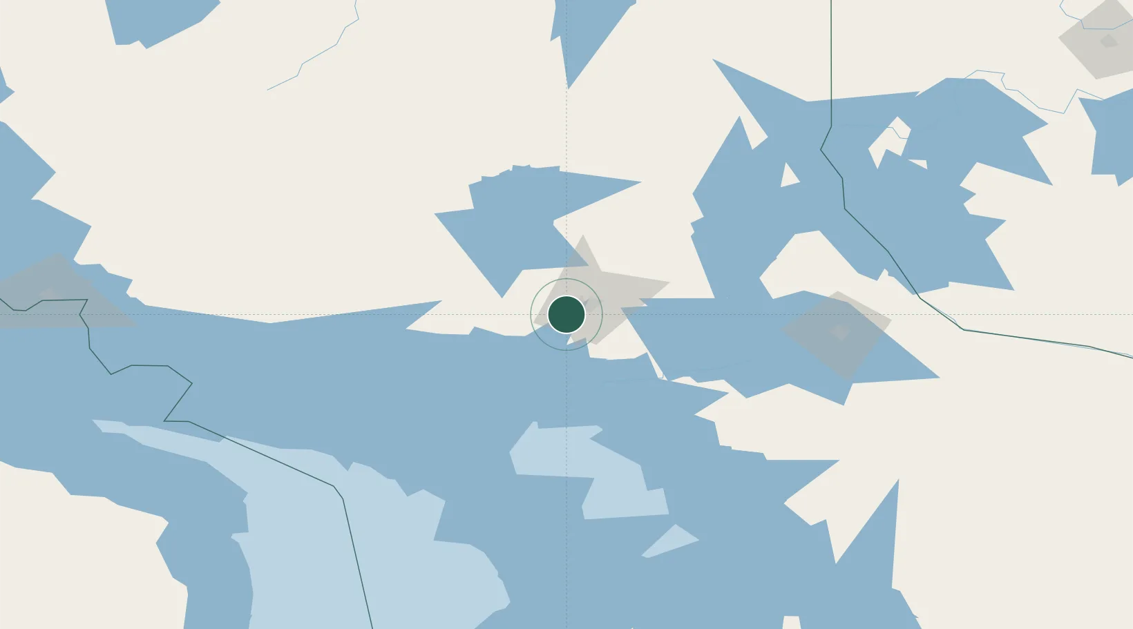
Hub Profile
Place type
Populated place
Region
Ontario
Population
5,608
Time zone
America/Toronto
Elevation
270 m
Location
Nearby Logistics Neighbours
Cities
- 1Copper Cliff7 km
- 2Coniston24 km
- 3Onaping29 km
- 4Falconbridge30 km
- 5Cartier43 km
Ports
- 1Killarney59 km
- 2Key Harbour69 km
- 3Little Current78 km
- 4Byng Inlet87 km
- 5Manitowaning91 km
Airports
Trade Zones
- 1FTZ No. 016 Sault Ste. Marie250 km
- 2FTZ No. 034 Niagara County381 km
- 3Niagara Foreign Trade Zone407 km
- 4FTZ No. 210 St. Clair County415 km
- 5FTZ No. 141 Monroe County431 km
DatabookThe Record of Consolidated Knowledge
Canada beyond logistics?