Transport Functions
Rail
Road
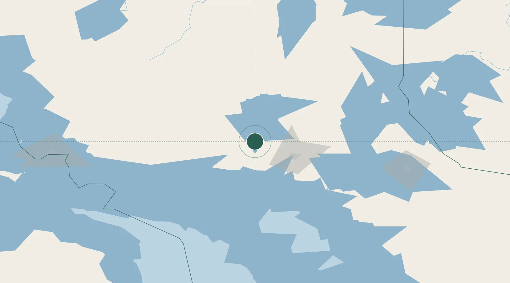
Hub Profile
Place type
Populated place
Region
Ontario
Population
241
Time zone
America/Toronto
Elevation
423 m
Location
Nearby Logistics Neighbours
Cities
- 1Onaping14 km
- 2Lively43 km
- 3Copper Cliff45 km
- 4Falconbridge58 km
- 5Coniston59 km
Ports
- 1Killarney82 km
- 2Little Current85 km
- 3Manitowaning107 km
- 4Key Harbour110 km
- 5Gore Bay112 km
Airports
Trade Zones
- 1FTZ No. 016 Sault Ste. Marie220 km
- 2FTZ No. 034 Niagara County421 km
- 3FTZ No. 210 St. Clair County437 km
- 4FTZ No. 140 Flint446 km
- 5Niagara Foreign Trade Zone447 km
DatabookThe Record of Consolidated Knowledge
Canada beyond logistics?