Transport Functions
Rail
Road
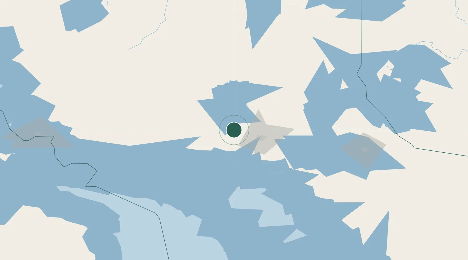
Hub Profile
Place type
Populated place
Region
Ontario
Time zone
America/Toronto
Elevation
371 m
Location
Nearby Logistics Neighbours
Cities
- 1Cartier14 km
- 2Lively29 km
- 3Copper Cliff32 km
- 4Coniston46 km
- 5Falconbridge46 km
Ports
- 1Killarney73 km
- 2Little Current81 km
- 3Key Harbour96 km
- 4Manitowaning101 km
- 5Gore Bay112 km
Airports
Trade Zones
- 1FTZ No. 016 Sault Ste. Marie229 km
- 2FTZ No. 034 Niagara County408 km
- 3FTZ No. 210 St. Clair County430 km
- 4Niagara Foreign Trade Zone434 km
- 5FTZ No. 140 Flint442 km
DatabookThe Record of Consolidated Knowledge
Canada beyond logistics?