Medium airport · Canada
Sudbury AirportCYSB
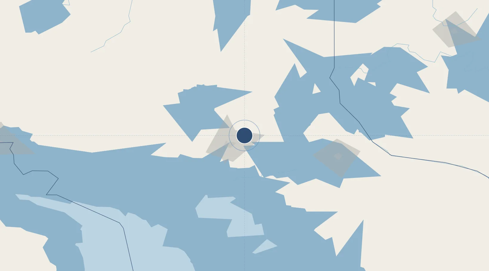
46.6250°, -80.7989°
6,600 ft
Longest runway
2
Runways
1,141 ft
Elevation
Runway & Layout

Radio Frequencies
ATIS
127.4 MHz
CNTR
135.5 MHz
TORONTO CNTR
MF
125.5 MHz
rdo
RCO
123.475 MHz
LONDON RDO
Navaids
SB NDB Sudbury 362 kHz
YSB VOR-DME Sudbury 112.30 MHz
ZSB NDB Noranda 344 kHz
Runways · 2
| Runway | Dimensions | Surface | True heading | Lit |
|---|---|---|---|---|
| 04/22 | 6,600 × 150ft | Asphalt | 029° | ✓ |
| 12/30 | 5,000 × 150ft | Asphalt | 106° | ✓ |
Airport Specifications
IATA code
YSB
ICAO code
CYSB
Airport class
Medium airport
Scheduled service
Yes
Runway surface
Asphalt
Served city
Sudbury
Location
Nearby Logistics Neighbours
Airports
Cities
- 1Falconbridge7 km
- 2Coniston16 km
- 3Copper Cliff27 km
- 4Lively34 km
- 5Onaping47 km
Ports
- 1Key Harbour83 km
- 2Killarney92 km
- 3Byng Inlet97 km
- 4Little Current113 km
- 5Manitowaning124 km
Trade Zones
- 1FTZ No. 016 Sault Ste. Marie277 km
- 2FTZ No. 034 Niagara County390 km
- 3Niagara Foreign Trade Zone416 km
- 4FTZ No. 141 Monroe County433 km
- 5FTZ No. 210 St. Clair County443 km
DatabookThe Record of Consolidated Knowledge
Canada beyond logistics?