Transport Functions
Rail
Road
Hub Profile
Place type
Populated place
Region
Maine
Time zone
America/New_York
Elevation
77 m
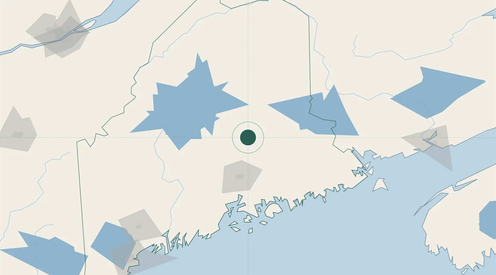
Location
Nearby Logistics Neighbours
Ports
- 1Bangor64 km
- 2Winterport83 km
- 3Bucksport89 km
- 4Ellsworth93 km
- 5Sandypoint95 km
Airports
- 1Bangor International Airport64 km
- 2Hancock County-Bar Harbor Airport105 km
- 3Houlton International Airport108 km
- 4Islesboro Airport120 km
- 5Witherspoons Airport136 km
Trade Zones
- 1FTZ No. 058 Bangor63 km
- 2FTZ No. 186 Waterville122 km
- 3FTZ No. 263 Auburn187 km
- 4Saint John204 km
- 5FTZ No. 179 Madawaska214 km
DatabookThe Record of Consolidated Knowledge
United States beyond logistics?