Transport Functions
Road
Multimodal
Hub Profile
Place type
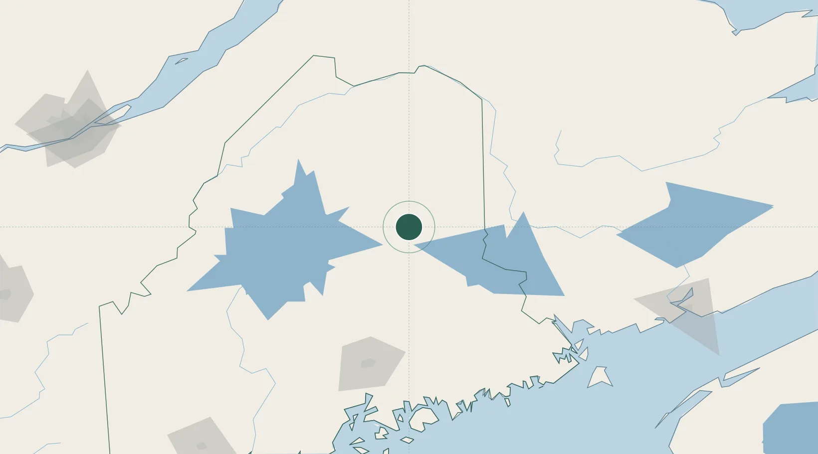
Populated place
Region
Maine
Population
1,155
Time zone
America/New_York
Elevation
183 m
Location
Nearby Logistics Neighbours
Cities
- 1Island Falls13 km
- 2Jacksonville69 km
- 3Northampton69 km
- 4Gilford71 km
- 5Hartland78 km
Ports
- 1Bangor134 km
- 2Port Bayside Nb137 km
- 3Winterport154 km
- 4Ellsworth159 km
- 5Machias160 km
Airports
Trade Zones
- 1FTZ No. 058 Bangor134 km
- 2FTZ No. 179 Madawaska145 km
- 3FTZ No. 186 Waterville188 km
- 4Saint John200 km
- 5Québec City FTZ236 km
DatabookThe Record of Consolidated Knowledge
United States beyond logistics?