Medium airport · United States
Houlton International AirportKHUL
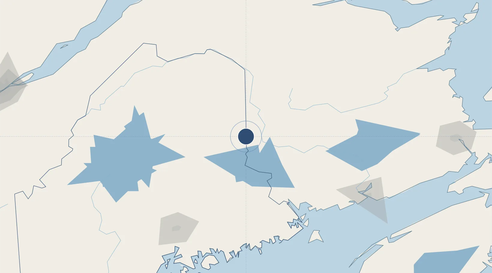
46.1231°, -67.7921°
5,015 ft
Longest runway
2
Runways
489 ft
Elevation
Runway & Layout

Radio Frequencies
ASOS
132.025 MHz
CNTR
120.25 MHz
BOSTON CNTR
RDO
122.2 MHz
BANGOR RDO
UNIC
122.8 MHz
CTAF/UNICOM
Runways · 2
| Runway | Dimensions | Surface | True heading | Lit |
|---|---|---|---|---|
| 05/23 | 5,015 × 100ft | Asphalt | 031° | ✓ |
| 01/19 | 2,700 × 60ft | Asphalt | 352° | — |
Airport Specifications
IATA code
HUL
ICAO code
KHUL
Airport class
Medium airport
Scheduled service
No
Runway surface
Asphalt
Served city
Houlton
Location
Nearby Logistics Neighbours
Airports
Cities
- 1Jacksonville17 km
- 2Northampton20 km
- 3Hartland28 km
- 4Island Falls39 km
- 5Nackawic46 km
Ports
- 1Port Bayside Nb120 km
- 2Eastport150 km
- 3Lubec153 km
- 4Machias158 km
- 5Machiasport161 km
Trade Zones
- 1FTZ No. 179 Madawaska135 km
- 2Saint John164 km
- 3FTZ No. 058 Bangor167 km
- 4FTZ No. 186 Waterville230 km
- 5Québec City FTZ277 km
DatabookThe Record of Consolidated Knowledge
United States beyond logistics?