UN/LOCODE hub · United States
USGSP

Greenville-Greer Apt

34.8574°, -82.1463°
3
Transport functions

Transport Functions

Rail
Road
Airport
UN/LOCODE

Hub Profile

Region
SC
GeoNames
Logistics facilities
1
UN/LOCODE

Location

Location of USGSP
Natural Earth 10m (public domain) · SC · USGSP · 34.86, -82.15GoogleOSMYandex

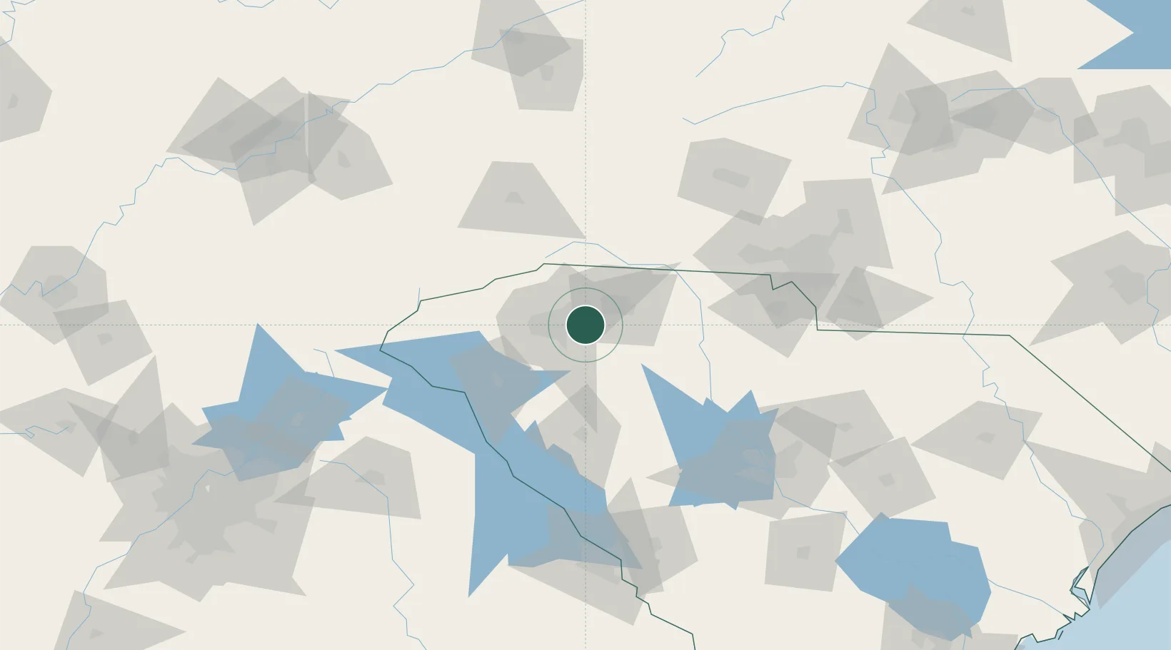
Nearby Logistics Neighbours

Cities
  1. 1Greenville6 km
  2. 2Woodruff17 km
  3. 3Conestee24 km
  4. 4Carlisle, Spartanburg28 km
  5. 5Gray Court29 km
Nearest neighbours — logibook spatial index (haversine) over the source coordinates
Ports
  1. 1Beaufort302 km
  2. 2Port Royal308 km
  3. 3Charleston309 km
  4. 4Georgetown311 km
  5. 5Savannah324 km
Nearest neighbours — logibook spatial index (haversine) over the source coordinates
Airports
  1. 1Greenville-Spartanburg International Airport8 km
  2. 2Greenville Downtown Airport19 km
  3. 3Anderson Regional Airport65 km
  4. 4Asheville Regional Airport74 km
  5. 5Charlotte Douglas International Airport117 km
Nearest neighbours — logibook spatial index (haversine) over the source coordinates
Trade Zones
  1. 1FTZ No. 038 Spartanburg County10 km
  2. 2FTZ No. 057 Mecklenburg County106 km
  3. 3FTZ No. 127 West Columbia134 km
  4. 4FTZ No. 204 Tri-Cities182 km
  5. 5FTZ No. 148 Knoxville227 km
Nearest neighbours — logibook spatial index (haversine) over the source coordinates
DatabookThe Record of Consolidated Knowledge
United States beyond logistics?
Browse databook

All Sources

LocationsUN/LOCODE
UN/LOCODE — free
Portsthe NGA World Port Index
Public domain (US gov)
AirportsOurAirports
Public domain
Trade Zonesthe World Bank SEZ database
CC BY 4.0
Trade ZonesOpen Zone Map
CC BY
← United States locations