Transport Functions
Road
Multimodal
Hub Profile
Region
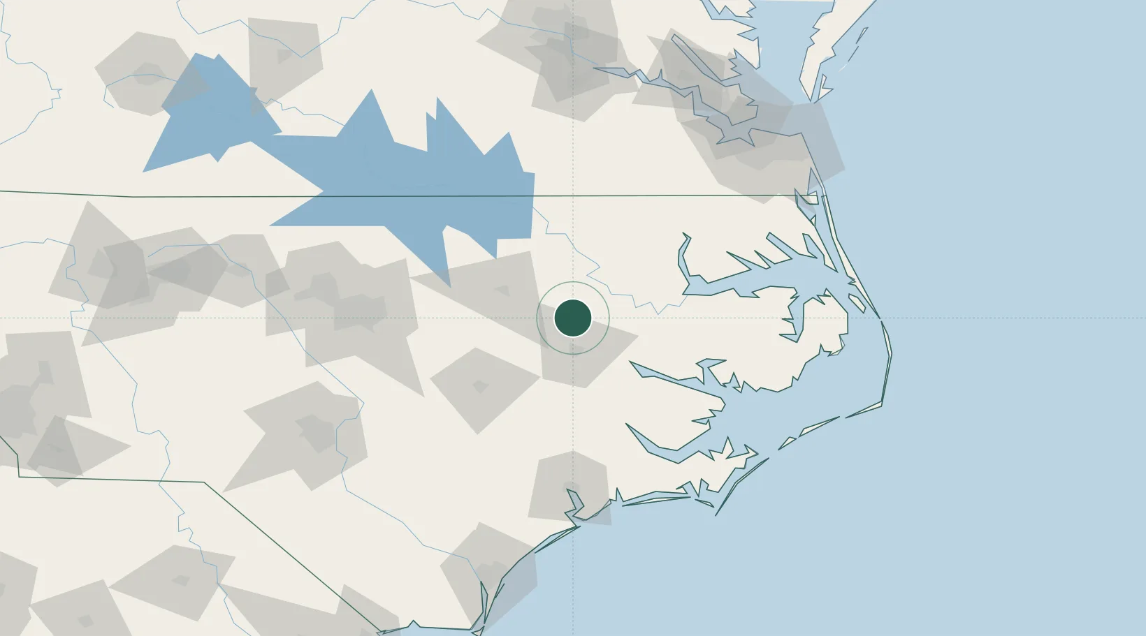
NC
Location
Nearby Logistics Neighbours
Cities
- 1Robersonville15 km
- 2Pinetops21 km
- 3Everetts21 km
- 4Hamilton23 km
- 5Winterville30 km
Ports
- 1Washington42 km
- 2Plymouth59 km
- 3Belhaven74 km
- 4Edenton76 km
- 5New Bern84 km
Airports
Trade Zones
- 1FTZ No. 214 Lenoir County79 km
- 2FTZ No. 093 Raleigh Durham136 km
- 3FTZ No. 020 Suffolk144 km
- 4FTZ No. 207 Richmond192 km
- 5FTZ No. 230 Piedmont Triad Area251 km
DatabookThe Record of Consolidated Knowledge
United States beyond logistics?