UN/LOCODE hub · United States
USZRE
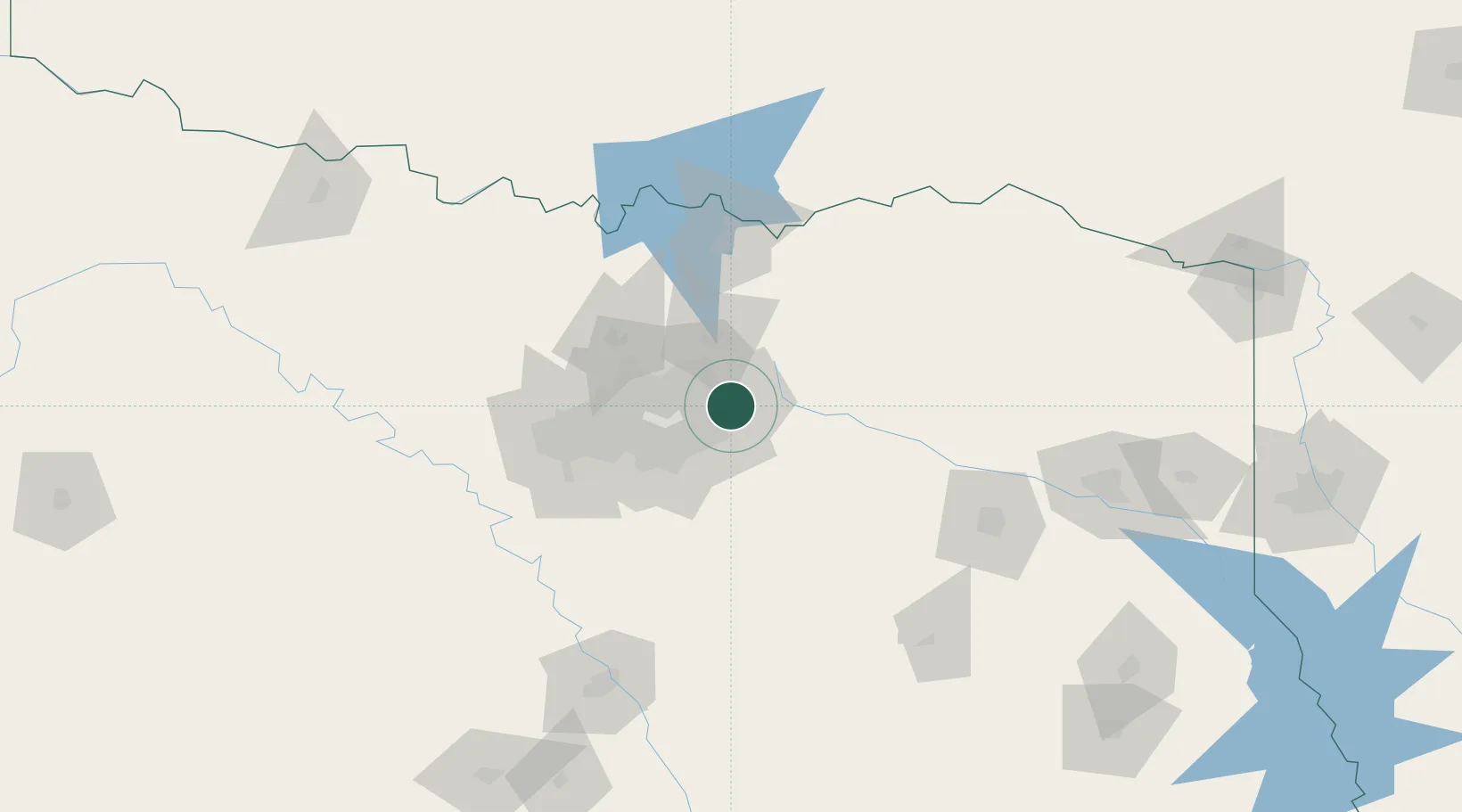
Rowlett
32.9000°, -96.5500°
60,236
Population
4
Transport functions
Transport Functions
Port
Rail
Road
Multimodal
Hub Profile
Place type
Populated place
Region
Texas
Population
60,236
Time zone
America/Chicago
Elevation
154 m
Location
Nearby Logistics Neighbours
Cities
- 1Sachse8 km
- 2Fate16 km
- 3Blackland, Rockwell17 km
- 4University Park24 km
- 5Allen28 km
Airports
Trade Zones
- 1FTZ No. 113 Ellis County80 km
- 2FTZ No. 168 Dallas Fort Worth93 km
- 3FTZ No. 196 Fort Worth96 km
- 4FTZ No. 269 Athens100 km
- 5FTZ No. 227 Durant124 km
DatabookThe Record of Consolidated Knowledge
United States beyond logistics?