Transport Functions
Rail
Road
Hub Profile
Place type
Provincial seat
Region
Florida
Population
2,066
Time zone
America/New_York
Elevation
16 m
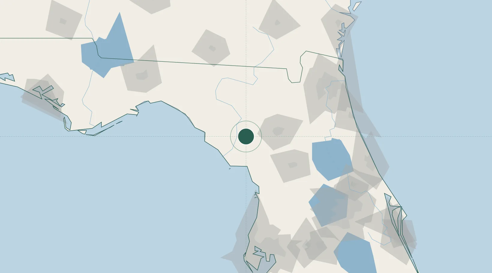
Location
Nearby Logistics Neighbours
Cities
- 1Fort White37 km
- 2Alachua38 km
- 3West Park41 km
- 4Branford42 km
- 5Eloise49 km
Ports
- 1Jacksonville138 km
- 2St Augustine149 km
- 3Mayport160 km
- 4Tarpon Springs161 km
- 5Fernandina Beach177 km
Airports
Trade Zones
- 1FTZ No. 064 Jacksonville117 km
- 2FTZ No. 198 Volusia County147 km
- 3FTZ No. 193 Pinellas County168 km
- 4FTZ No. 250 Seminole County170 km
- 5FTZ No. 042 Orlando178 km
DatabookThe Record of Consolidated Knowledge
United States beyond logistics?