Transport Functions
Port
Road
Hub Profile
Place type
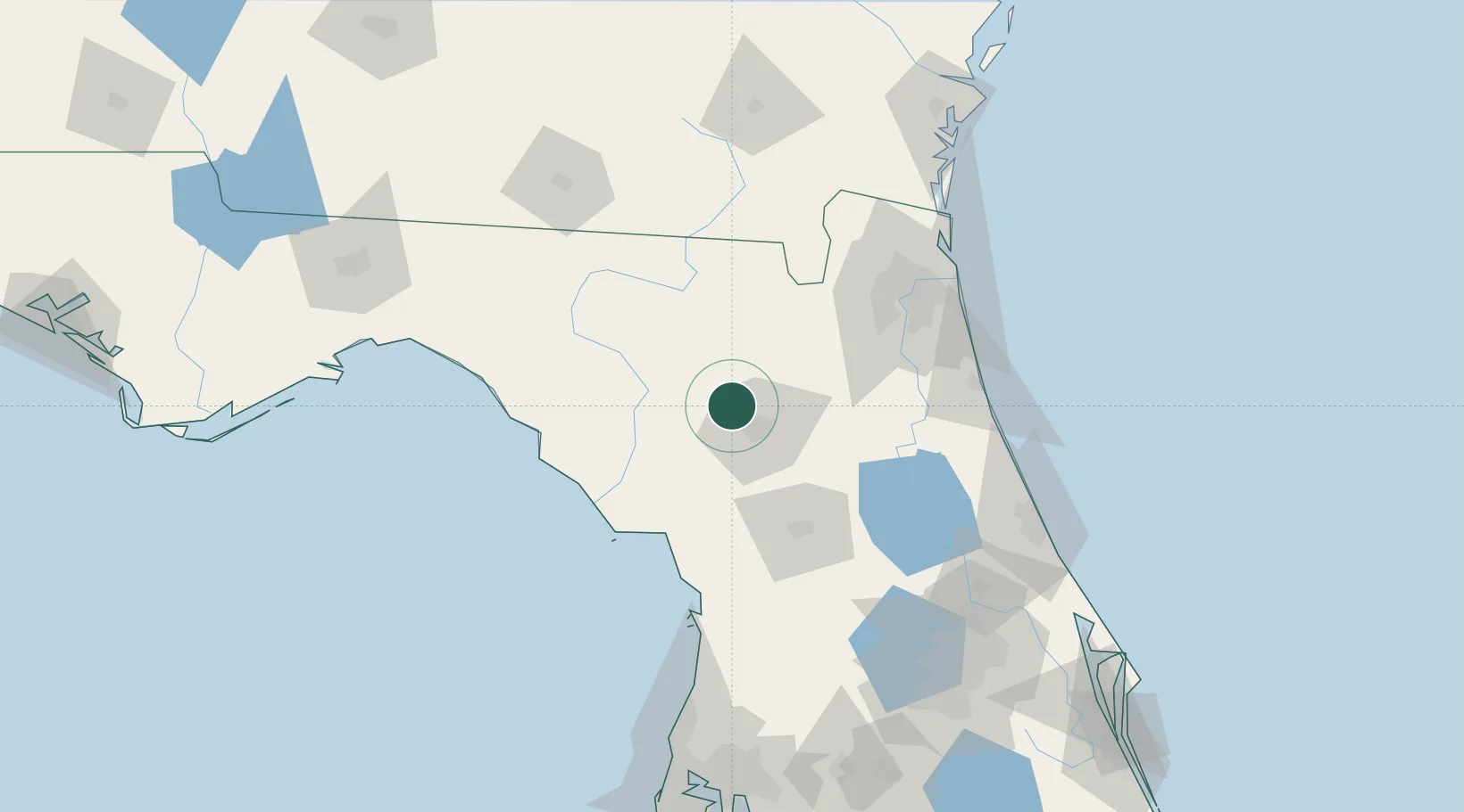
Populated place
Region
Florida
Population
9,757
Time zone
America/New_York
Elevation
42 m
Location
Nearby Logistics Neighbours
Cities
- 1West Park15 km
- 2Fort White27 km
- 3Trenton38 km
- 4Raiford38 km
- 5Branford48 km
Ports
- 1Jacksonville100 km
- 2St Augustine113 km
- 3Mayport122 km
- 4Fernandina Beach140 km
- 5Brunswick179 km
Airports
Trade Zones
- 1FTZ No. 064 Jacksonville80 km
- 2FTZ No. 198 Volusia County131 km
- 3FTZ No. 250 Seminole County159 km
- 4FTZ No. 042 Orlando173 km
- 5FTZ No. 144 Brunswick179 km
DatabookThe Record of Consolidated Knowledge
United States beyond logistics?