Transport Functions
Multimodal
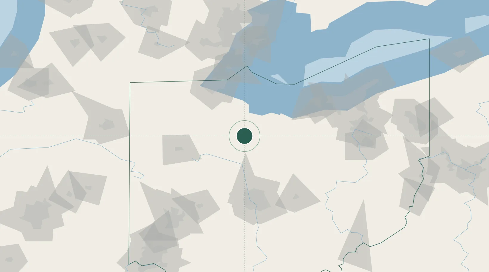
Hub Profile
Place type
Populated place
Region
Ohio
Population
837
Time zone
America/New_York
Elevation
259 m
Location
Nearby Logistics Neighbours
Cities
- 1Harpster23 km
- 2Forest, Hardin32 km
- 3Marseilles32 km
- 4Caledonia37 km
- 5Galion39 km
Ports
- 1Port Clinton68 km
- 2Sandusky69 km
- 3Huron73 km
- 4Put In Bay85 km
- 5Vermilion87 km
Airports
Trade Zones
- 1FTZ No. 151 Findlay47 km
- 2FTZ No. 008 Toledo86 km
- 3FTZ No. 181 Akron Canton120 km
- 4FTZ No. 138 Franklin County126 km
- 5FTZ No. 040 Cleveland127 km
DatabookThe Record of Consolidated Knowledge
United States beyond logistics?