Transport Functions
Road
Multimodal
Hub Profile
Place type
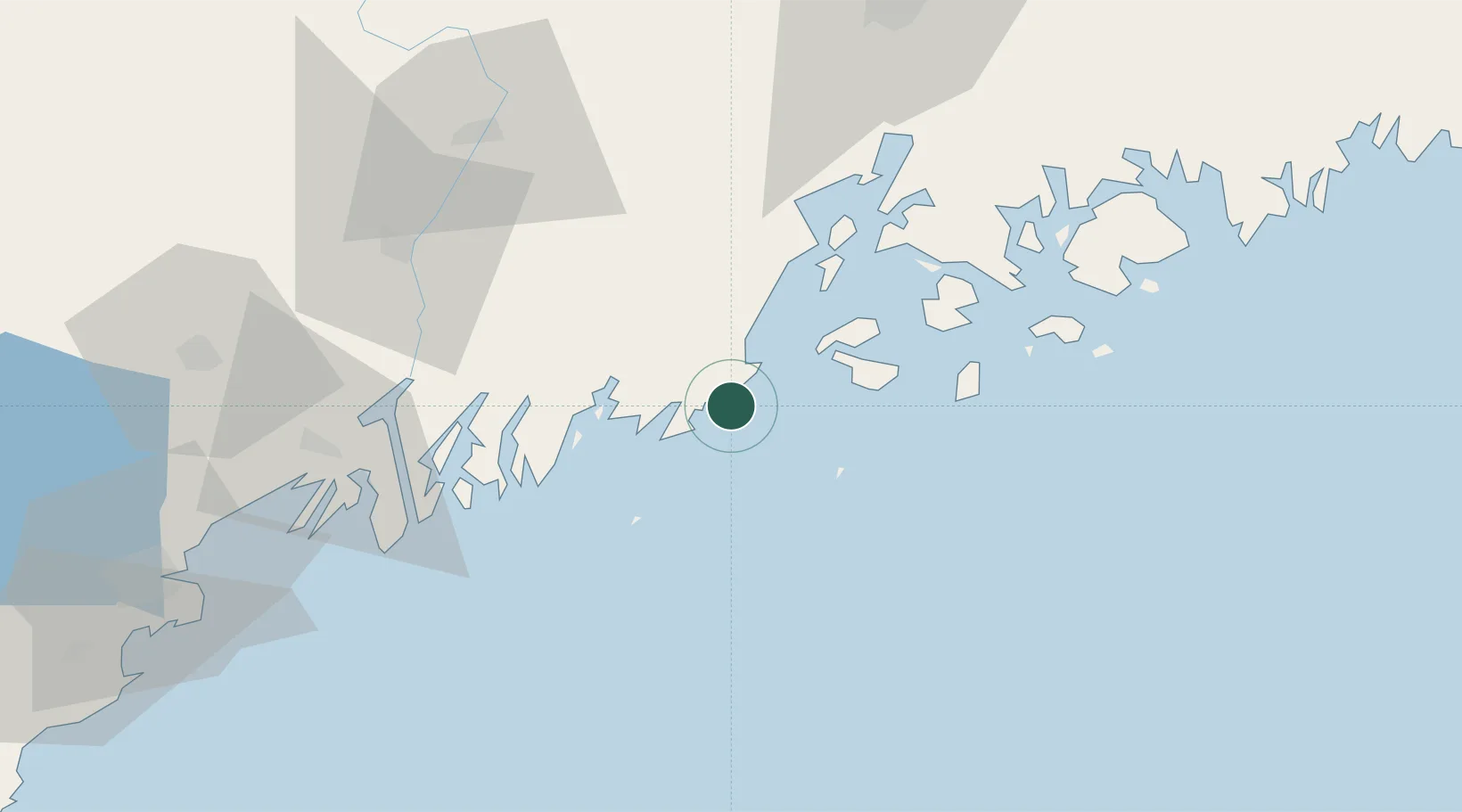
Populated place
Region
Maine
Time zone
America/New_York
Elevation
11 m
Location
Nearby Logistics Neighbours
Cities
- 1Saint George6 km
- 2Tenants Harbour10 km
- 3Friendship17 km
- 4Rockport21 km
- 5Camden23 km
Ports
- 1Thomaston9 km
- 2Rockland11 km
- 3Friendship18 km
- 4Rockport21 km
- 5Vinalhaven23 km
Airports
- 1Knox County Regional Airport7 km
- 2Matinicus Island Airport23 km
- 3Vinalhaven Airport25 km
- 4Witherspoons Airport26 km
- 5Islesboro Airport37 km
Trade Zones
- 1FTZ No. 186 Waterville76 km
- 2FTZ No. 263 Auburn88 km
- 3FTZ No. 058 Bangor93 km
- 4FTZ No. 081 Portsmouth174 km
- 5FTZ No. 027 Boston248 km
DatabookThe Record of Consolidated Knowledge
United States beyond logistics?