UN/LOCODE hub · United States
USFQZ
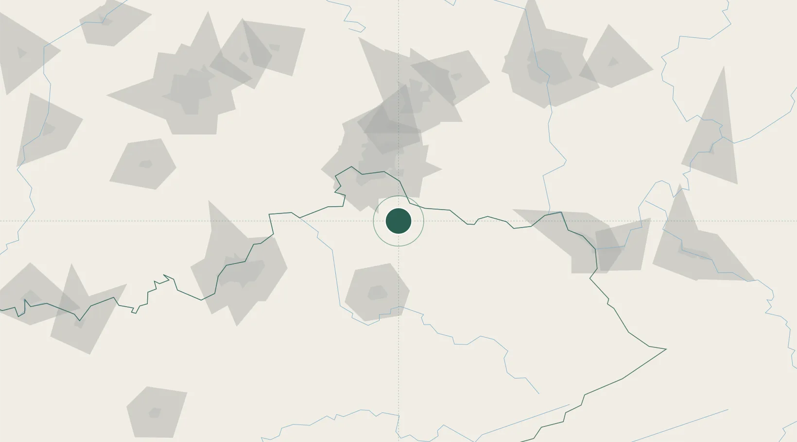
Falmouth
38.6667°, -84.3167°
2,127
Population
2
Transport functions
Transport Functions
Rail
Road
Hub Profile
Place type
Provincial seat
Region
Kentucky
Population
2,127
Time zone
America/New_York
Elevation
168 m
Location
Nearby Logistics Neighbours
Cities
- 1Butler14 km
- 2Crittenden28 km
- 3Augusta30 km
- 4Walton34 km
- 5Verona35 km
Ports
- 1Port Clinton338 km
- 2Sandusky338 km
- 3Huron339 km
- 4Toledo345 km
- 5Vermilion350 km
Airports
Trade Zones
- 1FTZ No. 046 CIncinnati51 km
- 2FTZ No. 047 Boone County59 km
- 3FTZ No. 054 Clinton County96 km
- 4FTZ No. 100 Dayton126 km
- 5FTZ No. 029 Louisville137 km
DatabookThe Record of Consolidated Knowledge
United States beyond logistics?