Transport Functions
Port
Road
Hub Profile
Place type
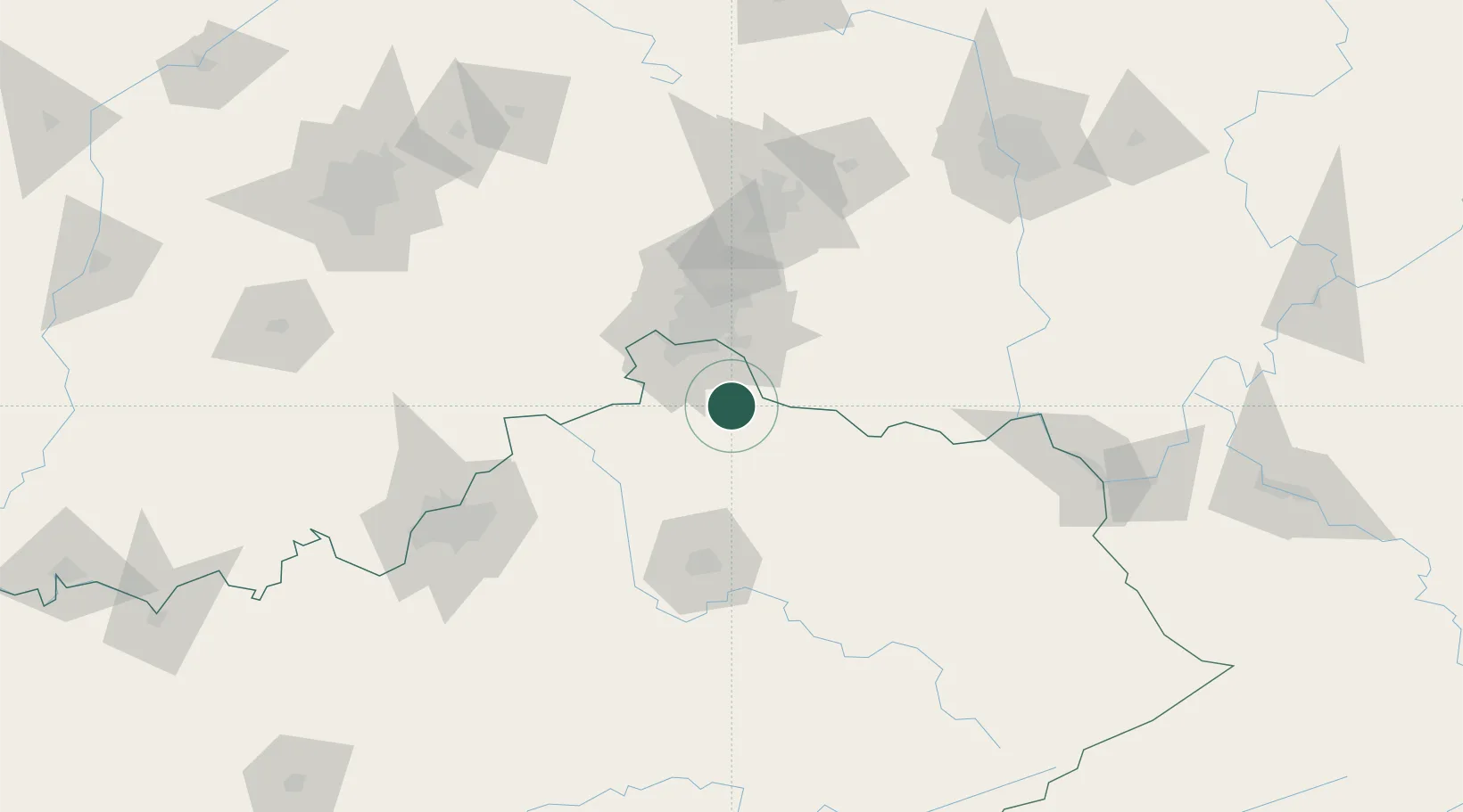
Populated place
Region
Kentucky
Population
588
Time zone
America/New_York
Elevation
166 m
Location
Nearby Logistics Neighbours
Cities
- 1Falmouth14 km
- 2Crittenden20 km
- 3Independence22 km
- 4Walton24 km
- 5Verona26 km
Ports
- 1Port Clinton327 km
- 2Sandusky328 km
- 3Huron329 km
- 4Toledo333 km
- 5Vermilion340 km
Airports
Trade Zones
- 1FTZ No. 046 CIncinnati37 km
- 2FTZ No. 047 Boone County49 km
- 3FTZ No. 054 Clinton County88 km
- 4FTZ No. 100 Dayton113 km
- 5FTZ No. 029 Louisville137 km
DatabookThe Record of Consolidated Knowledge
United States beyond logistics?