Transport Functions
Multimodal
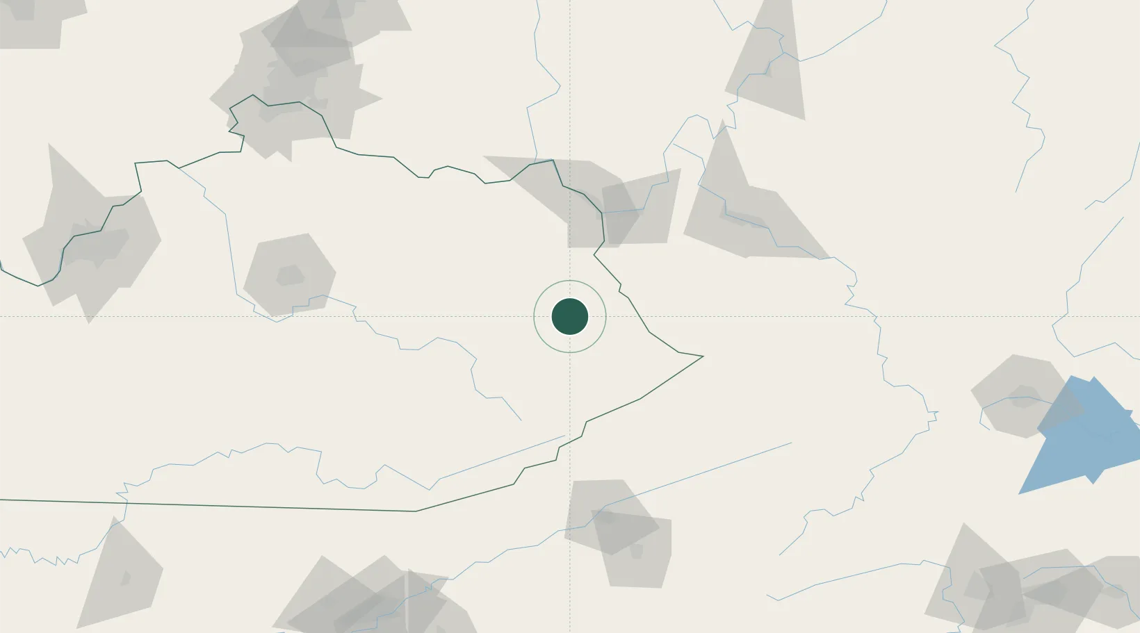
Hub Profile
Place type
Populated place
Region
Kentucky
Time zone
America/New_York
Elevation
190 m
Location
Nearby Logistics Neighbours
Cities
- 1East Point4 km
- 2Prestonsburg13 km
- 3Martin24 km
- 4Salyersville25 km
- 5Harold31 km
Ports
- 1Huron403 km
- 2Vermilion407 km
- 3Sandusky408 km
- 4Lorain413 km
- 5Port Clinton415 km
Airports
Trade Zones
- 1FTZ No. 229 Charleston113 km
- 2FTZ No. 204 Tri-Cities149 km
- 3FTZ No. 238 Dublin199 km
- 4FTZ No. 054 Clinton County203 km
- 5FTZ No. 046 CIncinnati210 km
DatabookThe Record of Consolidated Knowledge
United States beyond logistics?