UN/LOCODE hub · United States
USAGQ
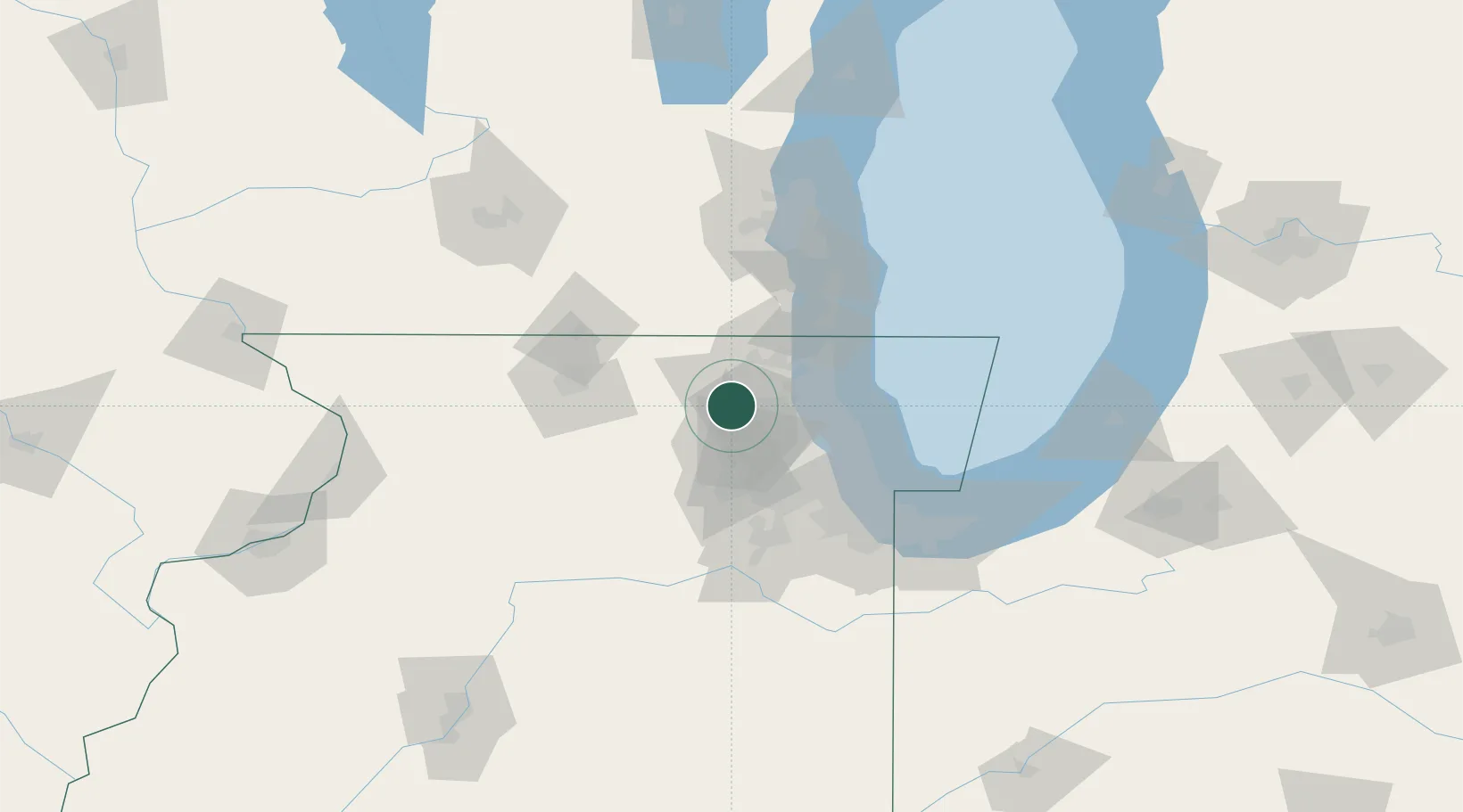
Algonquin
42.1667°, -88.3000°
30,571
Population
2
Transport functions
Transport Functions
Port
Road
Hub Profile
Place type
Populated place
Region
Illinois
Population
30,571
Time zone
America/Chicago
Elevation
226 m
Location
Nearby Logistics Neighbours
Cities
- 1Gilberts9 km
- 2Deer Park18 km
- 3Volo20 km
- 4South Elgin20 km
- 5Fairfield21 km
Ports
- 1Great Lakes41 km
- 2Waukegan46 km
- 3Wilmette52 km
- 4Kenosha61 km
- 5Chicago66 km
Airports
Trade Zones
- 1FTZ No. 292 Lake County38 km
- 2FTZ No. 022 Chicago51 km
- 3FTZ No. 176 Rockford75 km
- 4FTZ No. 041 Milwaukee100 km
- 5FTZ No. 152 Burns Harbor112 km
DatabookThe Record of Consolidated Knowledge
United States beyond logistics?