Transport Functions
Rail
Road
Hub Profile
Place type
Populated place
Region
Illinois
Population
8,798
Time zone
America/Chicago
Elevation
214 m
Logistics facilities
3
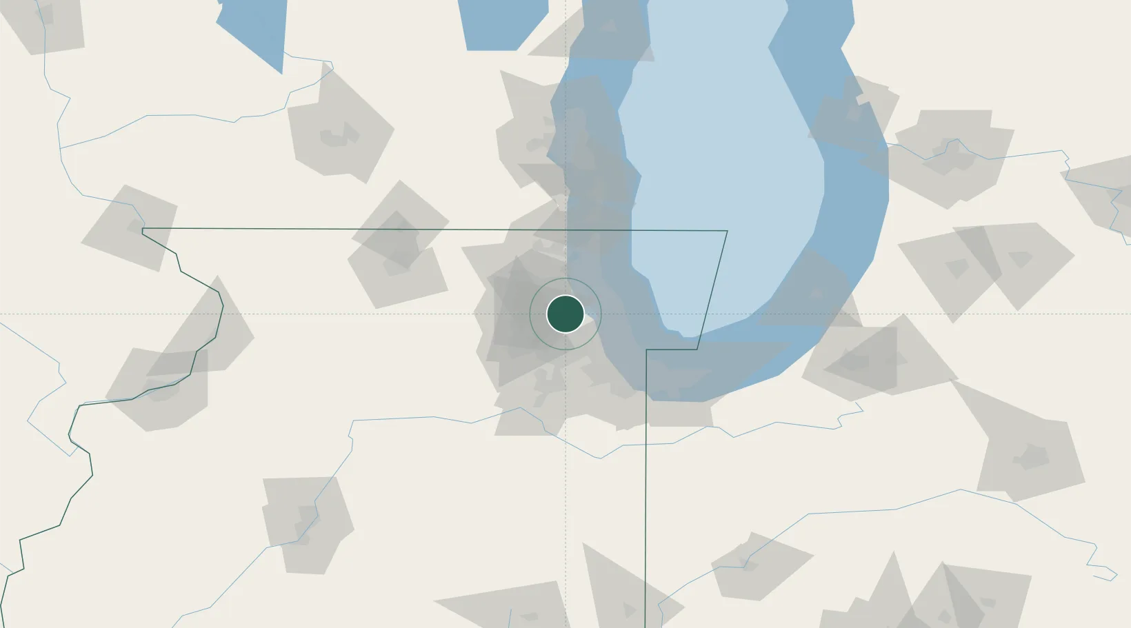
Location
Nearby Logistics Neighbours
Cities
- 1Glendale Heights10 km
- 2Park Ridge14 km
- 3Oakbrook Terrace16 km
- 4River Grove17 km
- 5Norridge17 km
Ports
- 1Wilmette30 km
- 2Chicago37 km
- 3Great Lakes39 km
- 4Waukegan46 km
- 5Calumet Harbor50 km
Airports
Trade Zones
- 1FTZ No. 022 Chicago21 km
- 2FTZ No. 292 Lake County40 km
- 3FTZ No. 152 Burns Harbor82 km
- 4FTZ No. 176 Rockford102 km
- 5FTZ No. 041 Milwaukee120 km
DatabookThe Record of Consolidated Knowledge
United States beyond logistics?