Transport Functions
Port
Hub Profile
Place type
Populated place
Region
New York
Time zone
America/New_York
Elevation
16 m
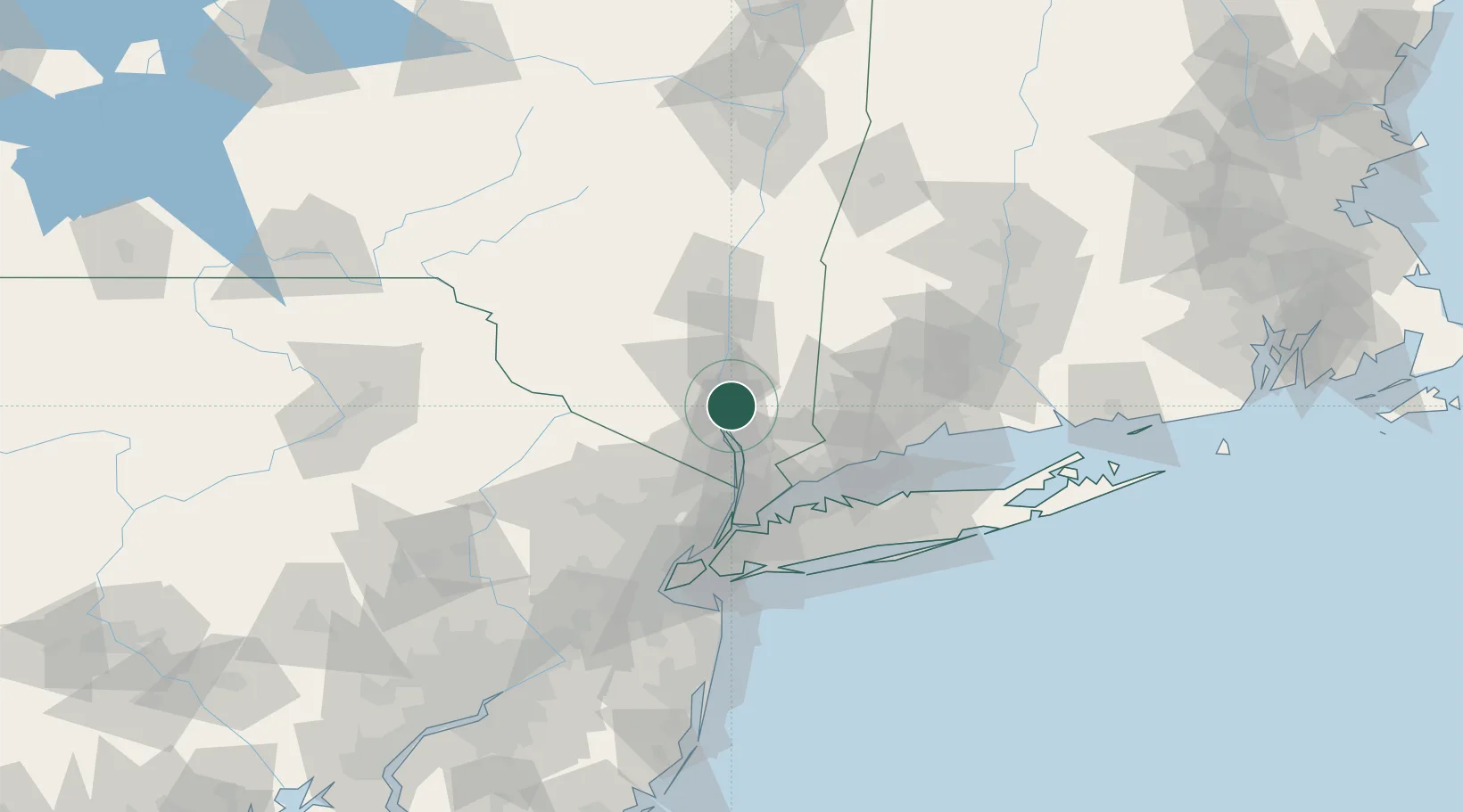
Location
Nearby Logistics Neighbours
Cities
- 1West Point1 km
- 2Highland Falls3 km
- 3Fort Montgomery9 km
- 4Woodbury14 km
- 5Buchanan15 km
Ports
- 1Newburgh14 km
- 2Poughkeepsie35 km
- 3Port Chester48 km
- 4Greenwich49 km
- 5Yonkers50 km
Airports
Trade Zones
DatabookThe Record of Consolidated Knowledge
United States beyond logistics?