UN/LOCODE hub · United States
USAGG
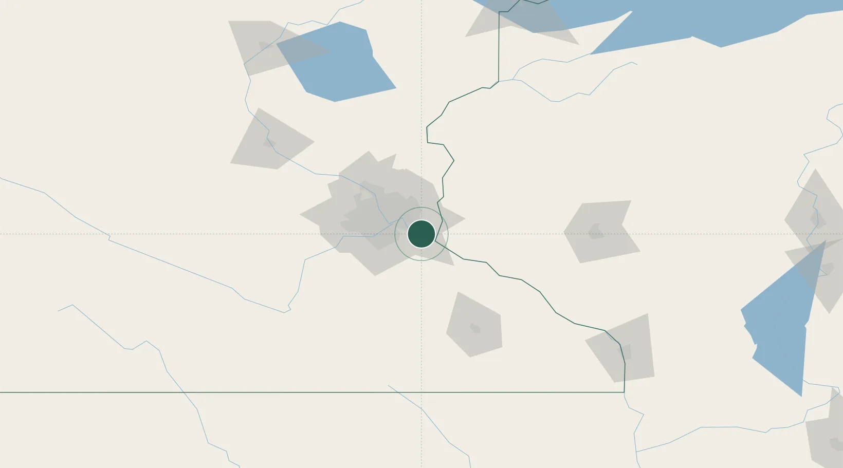
Cottage Grove
44.8167°, -92.9333°
35,918
Population
2
Transport functions
Transport Functions
Road
Multimodal
Hub Profile
Place type
Populated place
Region
Minnesota
Population
35,918
Time zone
America/Chicago
Elevation
248 m
Location
Nearby Logistics Neighbours
Cities
- 1Saint Paul Park4 km
- 2South Saint Paul12 km
- 3Prescott13 km
- 4Dawson17 km
- 5West Saint Paul17 km
Ports
- 1Superior224 km
- 2Duluth226 km
- 3Ashland255 km
- 4Washburn260 km
- 5Two Harbors264 km
Airports
Trade Zones
- 1FTZ No. 119 Minneapolis-St. Paul29 km
- 2FTZ No. 051 Duluth223 km
- 3FTZ No. 288 Northwest Iowa311 km
- 4FTZ No. 266 Dane County323 km
- 5FTZ No. 175 Cedar Rapids330 km
DatabookThe Record of Consolidated Knowledge
United States beyond logistics?