UN/LOCODE hub · United States
USZJV
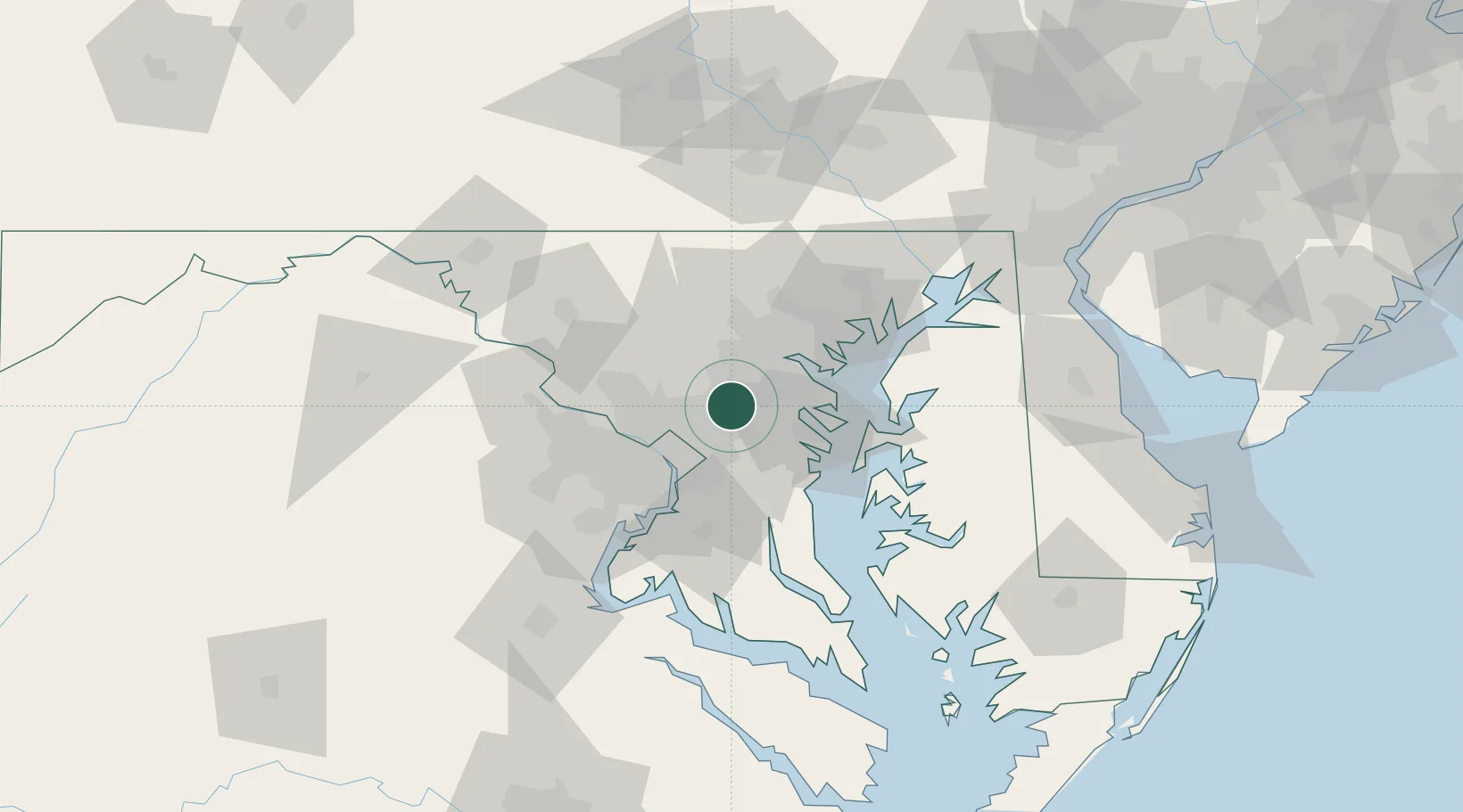
Maryland City
39.0833°, -76.8167°
16,093
Population
1
Transport functions
Transport Functions
Multimodal
Hub Profile
Place type
Populated place
Region
Maryland
Population
16,093
Time zone
America/New_York
Elevation
65 m
Location
Nearby Logistics Neighbours
Cities
- 1Fort George G Meade8 km
- 2Glenndale13 km
- 3Bowie14 km
- 4Clarksville16 km
- 5Mitchellville19 km
Ports
- 1Baltimore29 km
- 2Washington D.C.31 km
- 3Annapolis31 km
- 4Alexandria37 km
- 5Havre De Grace81 km
Airports
Trade Zones
DatabookThe Record of Consolidated Knowledge
United States beyond logistics?