UN/LOCODE hub · United States
USFA3
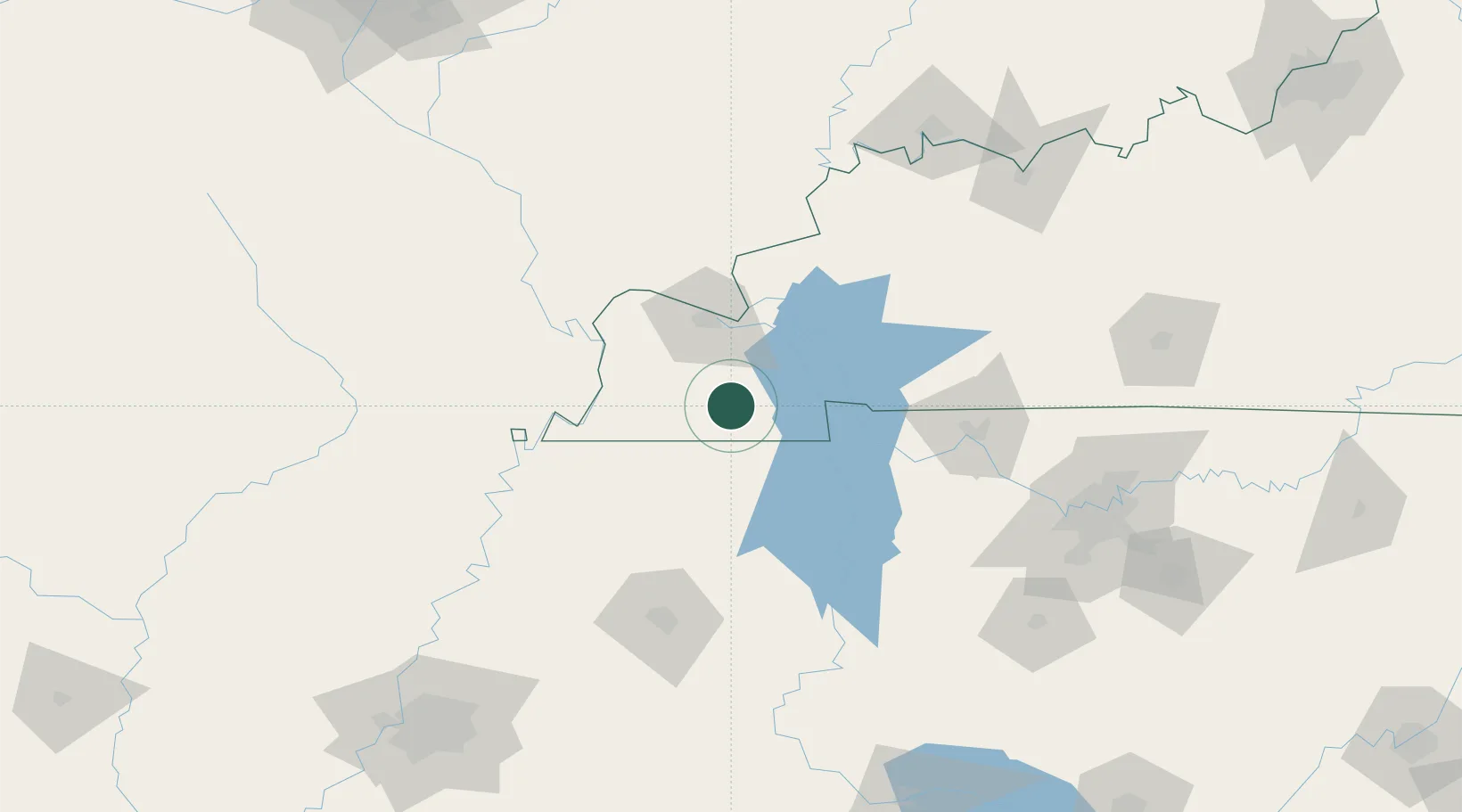
Farmington
36.6667°, -88.5167°
245
Population
2
Transport functions
Transport Functions
Port
Road
Hub Profile
Place type
Populated place
Region
Kentucky
Population
245
Time zone
America/Chicago
Elevation
171 m
Location
Nearby Logistics Neighbours
Ports
- 1Port Of Memphis232 km
- 2Gary560 km
- 3Indiana Harbor564 km
- 4Calumet Harbor570 km
- 5Michigan City580 km
Airports
Trade Zones
- 1FTZ No. 294 Western Kentucky45 km
- 2FTZ No. 078 Nashville140 km
- 3FTZ No. 283 West Tennessee146 km
- 4FTZ No. 177 Evansville168 km
- 5FTZ No. 223 Memphis223 km
DatabookThe Record of Consolidated Knowledge
United States beyond logistics?