Transport Functions
Road
Multimodal
Hub Profile
Place type
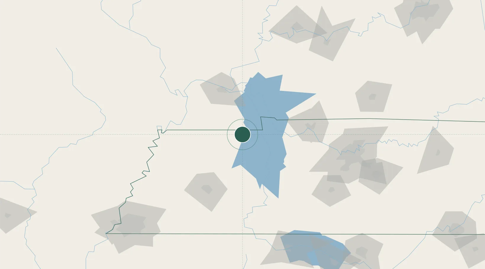
Populated place
Region
Tennessee
Population
669
Time zone
America/Chicago
Elevation
185 m
Location
Nearby Logistics Neighbours
Cities
- 1Buchanan10 km
- 2Henry27 km
- 3Farmington31 km
- 4Halls37 km
- 5Bruceton44 km
Ports
- 1Port Of Memphis225 km
- 2Gary583 km
- 3Indiana Harbor587 km
- 4Calumet Harbor594 km
- 5Michigan City602 km
Airports
Trade Zones
- 1FTZ No. 294 Western Kentucky74 km
- 2FTZ No. 078 Nashville117 km
- 3FTZ No. 283 West Tennessee142 km
- 4FTZ No. 177 Evansville185 km
- 5FTZ No. 223 Memphis216 km
DatabookThe Record of Consolidated Knowledge
United States beyond logistics?