UN/LOCODE hub · United States
USCQ4
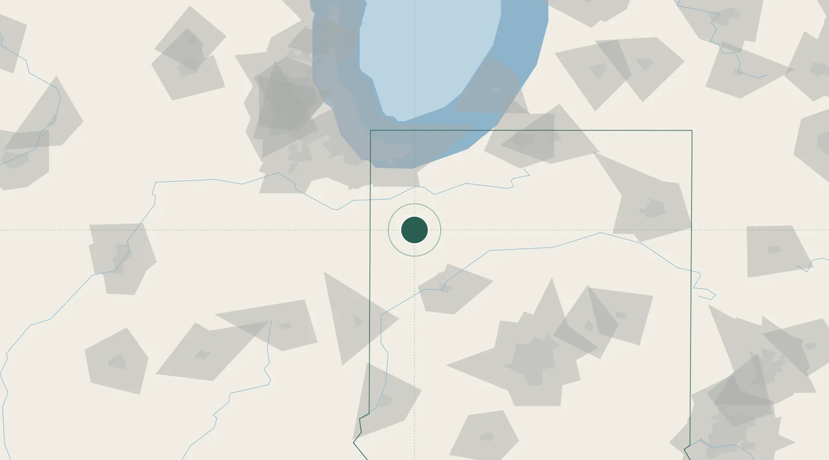
Collegeville
40.9167°, -87.1500°
330
Population
2
Transport functions
Transport Functions
Road
Multimodal
Hub Profile
Place type
Populated place
Region
Indiana
Population
330
Time zone
America/Chicago
Elevation
204 m
Location
Nearby Logistics Neighbours
Cities
- 1Brook18 km
- 2Monon25 km
- 3Francesville25 km
- 4DeMotte30 km
- 5Shelby33 km
Ports
- 1Gary79 km
- 2Indiana Harbor87 km
- 3Michigan City93 km
- 4Calumet Harbor96 km
- 5Chicago114 km
Airports
Trade Zones
- 1FTZ No. 152 Burns Harbor79 km
- 2FTZ No. 125 South Bend108 km
- 3FTZ No. 022 Chicago118 km
- 4FTZ No. 072 Indianapolis151 km
- 5FTZ No. 182 Fort Wayne157 km
DatabookThe Record of Consolidated Knowledge
United States beyond logistics?