UN/LOCODE hub · United States
USYWO
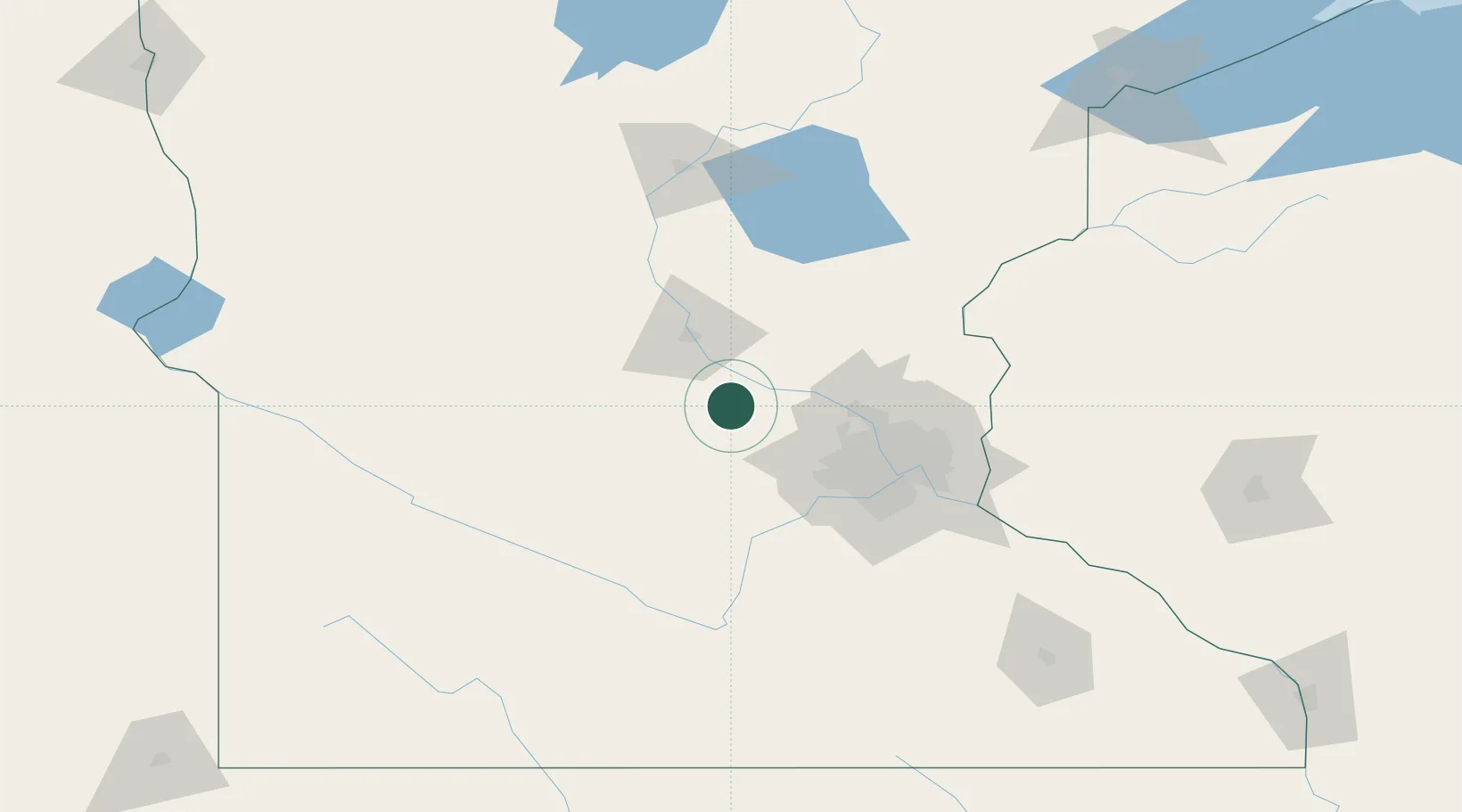
Maple Lake
45.2333°, -94.0000°
2,092
Population
2
Transport functions
Transport Functions
Rail
Road
Hub Profile
Place type
Populated place
Region
Minnesota
Population
2,092
Time zone
America/Chicago
Elevation
322 m
Location
Nearby Logistics Neighbours
Cities
- 1Annandale11 km
- 2Buffalo13 km
- 3Monticello19 km
- 4Becker20 km
- 5Clearwater21 km
Ports
- 1Superior224 km
- 2Duluth225 km
- 3Two Harbors269 km
- 4Ashland286 km
- 5Washburn289 km
Airports
Trade Zones
- 1FTZ No. 119 Minneapolis-St. Paul67 km
- 2FTZ No. 051 Duluth217 km
- 3FTZ No. 288 Northwest Iowa284 km
- 4FTZ No. 220 Sioux Falls290 km
- 5FTZ No. 267 Fargo292 km
DatabookThe Record of Consolidated Knowledge
United States beyond logistics?