UN/LOCODE hub · United States
USLY4
Loyalhanna
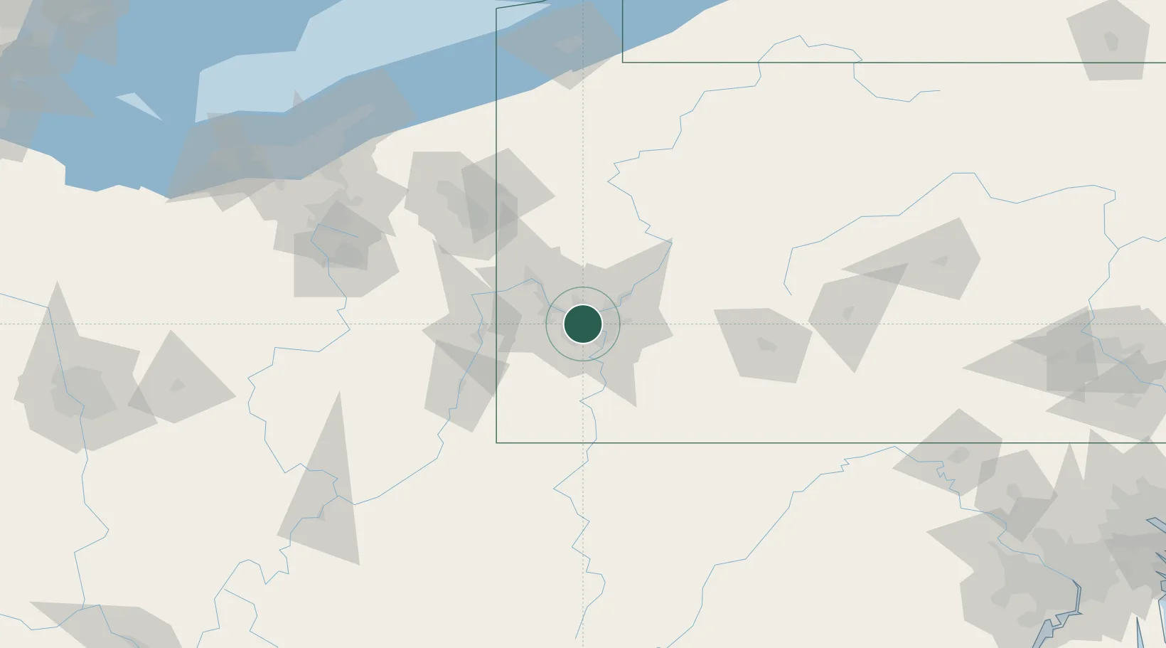
40.4333°, -80.0000°
3,428
Population
2
Transport functions
Transport Functions
Road
Multimodal
Hub Profile
Place type
Populated place
Region
Pennsylvania
Population
3,428
Time zone
America/New_York
Elevation
302 m
Location
Nearby Logistics Neighbours
Cities
- 1McKees Rocks5 km
- 2Crafton6 km
- 3Homestead9 km
- 4Etna9 km
- 5West Homestead10 km
Airports
Trade Zones
- 1FTZ No. 033 Pittsburgh4 km
- 2FTZ No. 295 Central Pennsylvania131 km
- 3FTZ No. 254 Jefferson County153 km
- 4FTZ No. 181 Akron Canton158 km
- 5FTZ No. 247 Erie187 km
DatabookThe Record of Consolidated Knowledge
United States beyond logistics?