Transport Functions
Port
Rail
Road
Multimodal
Hub Profile
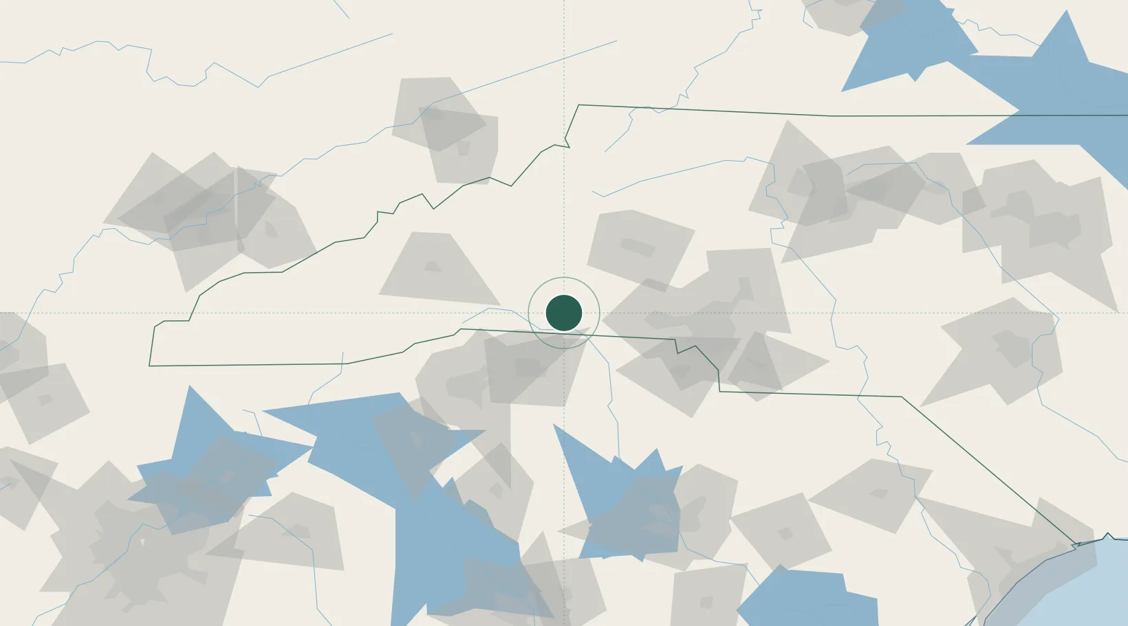
Place type
Populated place
Region
North Carolina
Population
854
Time zone
America/New_York
Elevation
320 m
Location
Nearby Logistics Neighbours
Cities
- 1Mooresboro5 km
- 2Bostic9 km
- 3Lawndale20 km
- 4Earl25 km
- 5Mayo28 km
Ports
- 1Georgetown314 km
- 2Charleston328 km
- 3Beaufort336 km
- 4Port Royal343 km
- 5Savannah365 km
Airports
Trade Zones
DatabookThe Record of Consolidated Knowledge
United States beyond logistics?