Transport Functions
Rail
Road
Hub Profile
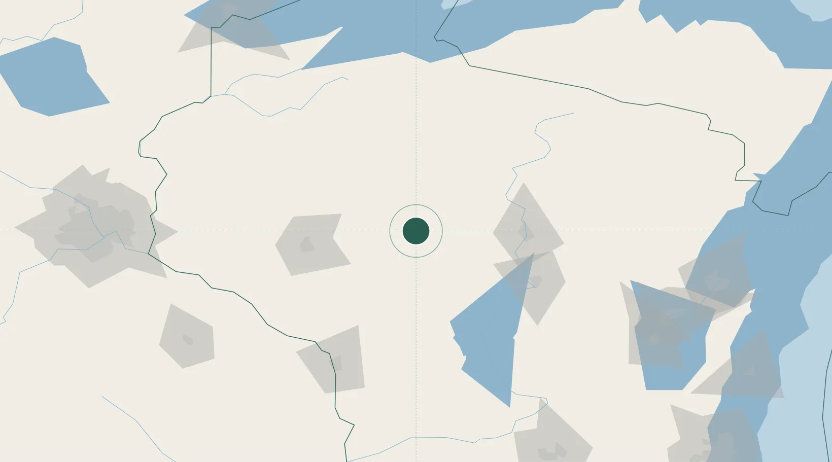
Place type
Populated place
Region
Wisconsin
Population
930
Time zone
America/Chicago
Elevation
379 m
Location
Nearby Logistics Neighbours
Airports
- 1Chippewa Valley Regional Airport73 km
- 2Central Wisconsin Airport73 km
- 3Wausau Downtown Airport74 km
- 4Rhinelander Oneida County Airport115 km
- 5Volk Field115 km
Trade Zones
- 1FTZ No. 167 Brown County188 km
- 2FTZ No. 119 Minneapolis-St. Paul210 km
- 3FTZ No. 266 Dane County220 km
- 4FTZ No. 051 Duluth240 km
- 5FTZ No. 041 Milwaukee288 km
DatabookThe Record of Consolidated Knowledge
United States beyond logistics?