Transport Functions
Rail
Road
Multimodal
Hub Profile
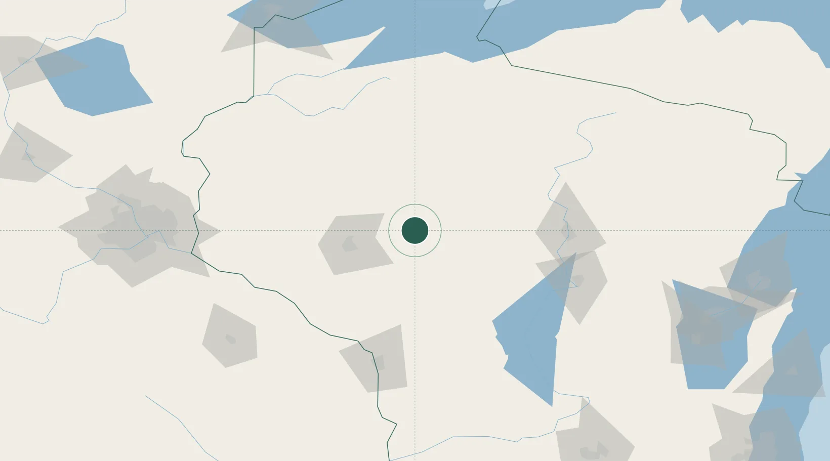
Place type
Populated place
Region
Wisconsin
Population
3,569
Time zone
America/Chicago
Elevation
330 m
Location
Nearby Logistics Neighbours
Airports
- 1Chippewa Valley Regional Airport44 km
- 2Central Wisconsin Airport101 km
- 3Wausau Downtown Airport103 km
- 4La Crosse Regional Airport122 km
- 5Volk Field125 km
Trade Zones
- 1FTZ No. 119 Minneapolis-St. Paul181 km
- 2FTZ No. 167 Brown County216 km
- 3FTZ No. 051 Duluth226 km
- 4FTZ No. 266 Dane County231 km
- 5FTZ No. 271 Jo-Daviess and Carroll Counties298 km
DatabookThe Record of Consolidated Knowledge
United States beyond logistics?