Transport Functions
Road
Multimodal
Hub Profile
Place type
Provincial seat
Region
Texas
Population
1,892
Time zone
America/Chicago
Elevation
1,146 m
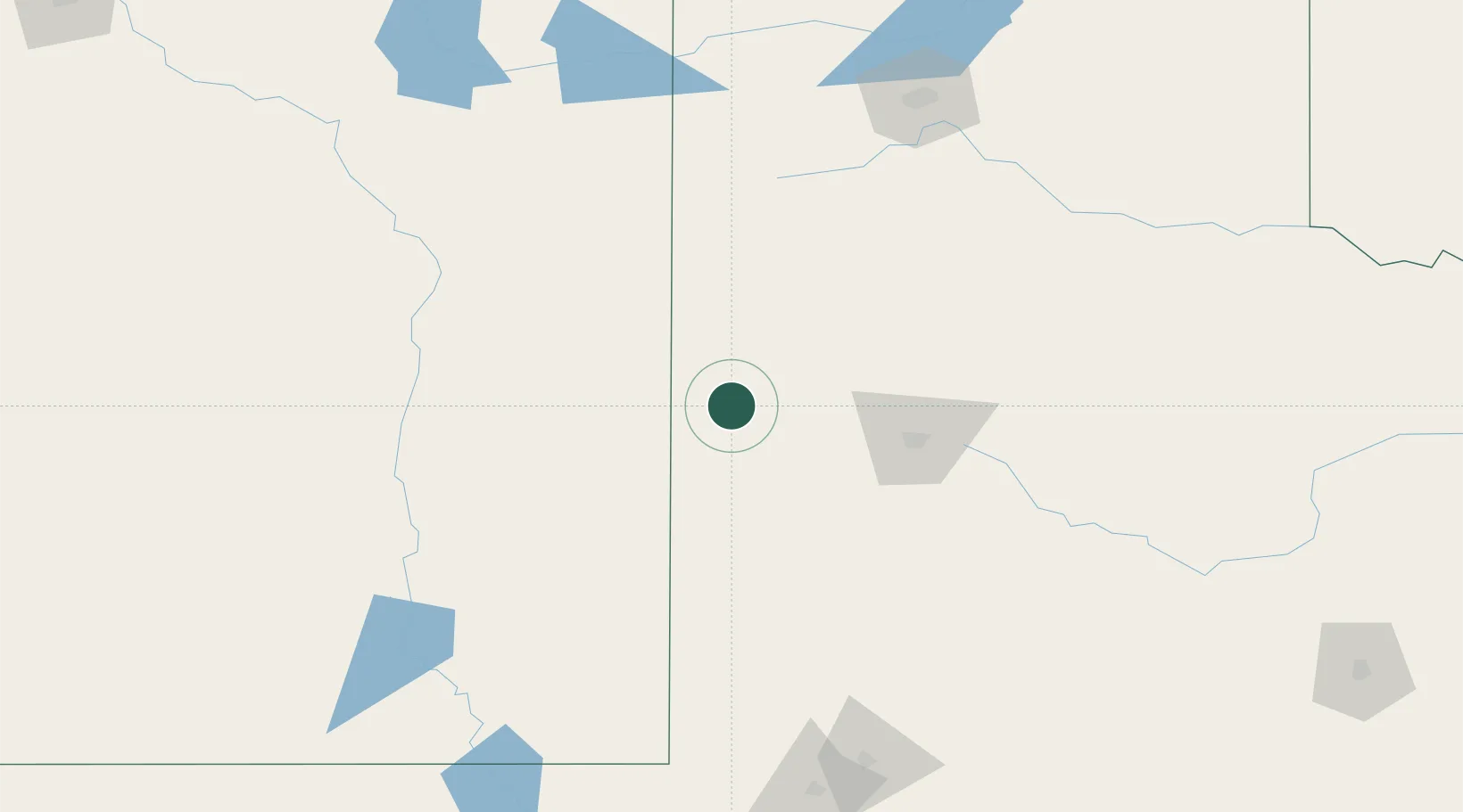
Location
Nearby Logistics Neighbours
Cities
- 1Springlake70 km
- 2Wolfforth75 km
- 3Olton78 km
- 4Elida86 km
- 5Hart96 km
Ports
- 1Port Lavaca815 km
- 2Deer Park830 km
- 3Corpus Christi832 km
- 4Houston834 km
- 5Rockport836 km
Airports
Trade Zones
- 1FTZ No. 260 Lubbock70 km
- 2FTZ No. 261 Alexandria70 km
- 3FTZ No. 252 Amarillo184 km
- 4FTZ No. 165 Midland195 km
- 5FTZ No. 166 Homestead195 km
DatabookThe Record of Consolidated Knowledge
United States beyond logistics?