Transport Functions
Rail
Road
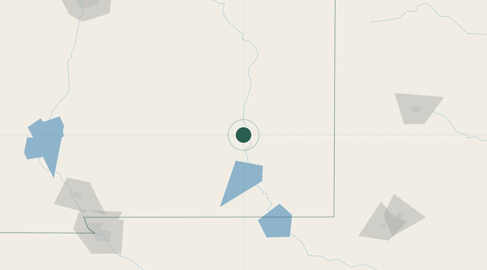
Hub Profile
Place type
Populated place
Region
New Mexico
Population
1,272
Time zone
America/Denver
Elevation
1,056 m
Location
Nearby Logistics Neighbours
Cities
- 1Carlsbad86 km
- 2Elida108 km
- 3Buchanan142 km
- 4Morton160 km
- 5Holloman Air Force Base163 km
Ports
- 1Guaymas858 km
- 2Corpus Christi895 km
- 3Port Lavaca897 km
- 4Rockport905 km
- 5Port Ingleside910 km
Airports
Trade Zones
- 1FTZ No. 260 Lubbock222 km
- 2FTZ No. 261 Alexandria222 km
- 3FTZ No. 165 Midland241 km
- 4FTZ No. 166 Homestead241 km
- 5FTZ No. 068 El Paso241 km
DatabookThe Record of Consolidated Knowledge
United States beyond logistics?