UN/LOCODE hub · United States
USSGP

Springlake

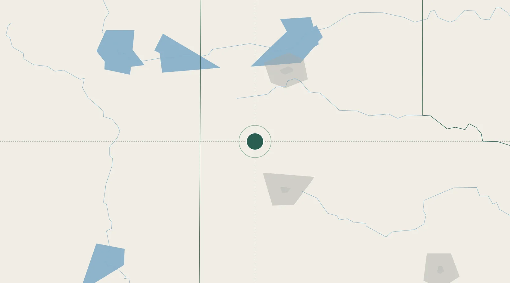
34.2167°, -102.3000°
104
Population
2
Transport functions

Transport Functions

Road
Multimodal
UN/LOCODE

Hub Profile

Place type
Populated place
GeoNames
Region
Texas
GeoNames
Population
104
GeoNames
Time zone
America/Chicago
GeoNames
Elevation
1,123 m
GeoNames

Location

Location of USSGP
Natural Earth 10m (public domain) · Texas · USSGP · 34.22, -102.30GoogleOSMYandex

Nearby Logistics Neighbours

Cities
  1. 1Olton16 km
  2. 2Hart26 km
  3. 3Morton70 km
  4. 4Petersburg75 km
  5. 5Wolfforth84 km
Nearest neighbours — logibook spatial index (haversine) over the source coordinates
Ports
  1. 1Deer Park823 km
  2. 2Port Lavaca823 km
  3. 3Houston827 km
  4. 4Pasadena834 km
  5. 5Palacios843 km
Nearest neighbours — logibook spatial index (haversine) over the source coordinates
Airports
  1. 1Clovis Municipal Airport75 km
  2. 2Lubbock Preston Smith International Airport76 km
  3. 3Cannon Air Force Base96 km
  4. 4Rick Husband Amarillo International Airport124 km
  5. 5Tucumcari Municipal Airport160 km
Nearest neighbours — logibook spatial index (haversine) over the source coordinates
Trade Zones
  1. 1FTZ No. 260 Lubbock74 km
  2. 2FTZ No. 261 Alexandria74 km
  3. 3FTZ No. 252 Amarillo116 km
  4. 4FTZ No. 165 Midland244 km
  5. 5FTZ No. 166 Homestead244 km
Nearest neighbours — logibook spatial index (haversine) over the source coordinates
DatabookThe Record of Consolidated Knowledge
United States beyond logistics?
Browse databook

All Sources

LocationsUN/LOCODE
UN/LOCODE — free
LocationsGeoNames
CC BY 4.0
Portsthe NGA World Port Index
Public domain (US gov)
AirportsOurAirports
Public domain
Trade Zonesthe World Bank SEZ database
CC BY 4.0
Trade ZonesOpen Zone Map
CC BY
← United States locations