Transport Functions
Rail
Road
Multimodal
Hub Profile
Place type
Populated place
Region
New York
Population
1,502
Time zone
America/New_York
Elevation
280 m
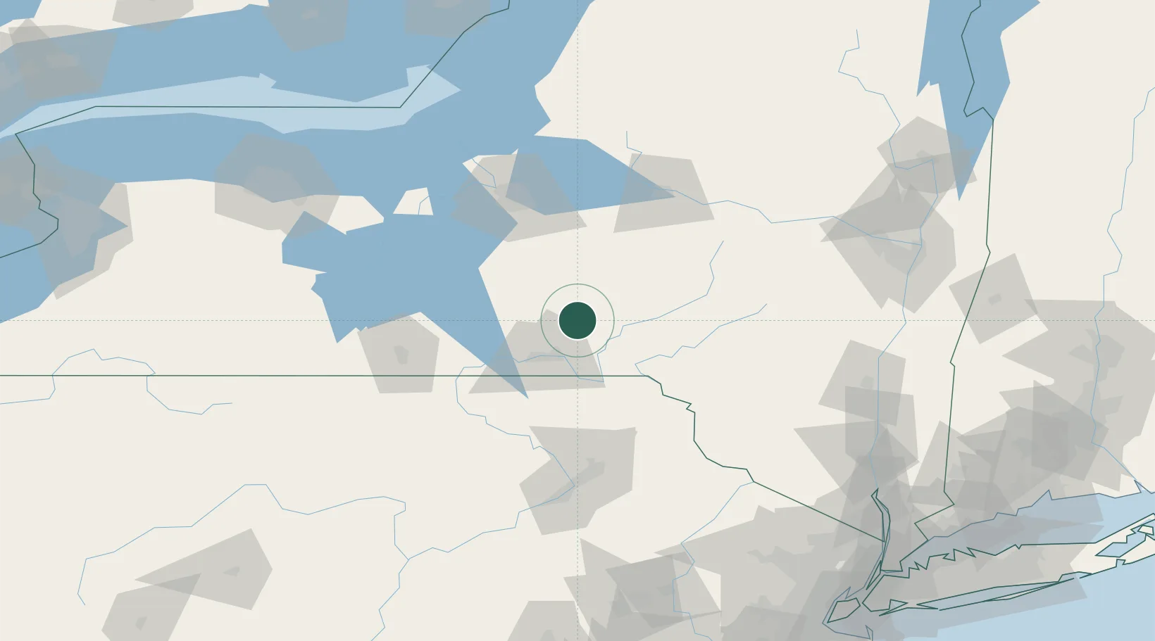
Location
Nearby Logistics Neighbours
Cities
- 1Chenango Bridge20 km
- 2Sidney29 km
- 3Kirkwood33 km
- 4Conklin34 km
- 5Vestal36 km
Ports
- 1Oswego140 km
- 2Sodus Bay144 km
- 3Kingston155 km
- 4Catskill158 km
- 5Poughkeepsie166 km
Airports
Trade Zones
- 1FTZ No. 172 Oneida County103 km
- 2FTZ No. 024 Pittston112 km
- 3FTZ No. 037 Orange County127 km
- 4FTZ No. 090 Onondaga140 km
- 5FTZ No. 289 Ontario County157 km
DatabookThe Record of Consolidated Knowledge
United States beyond logistics?