Transport Functions
Road
Multimodal
Hub Profile
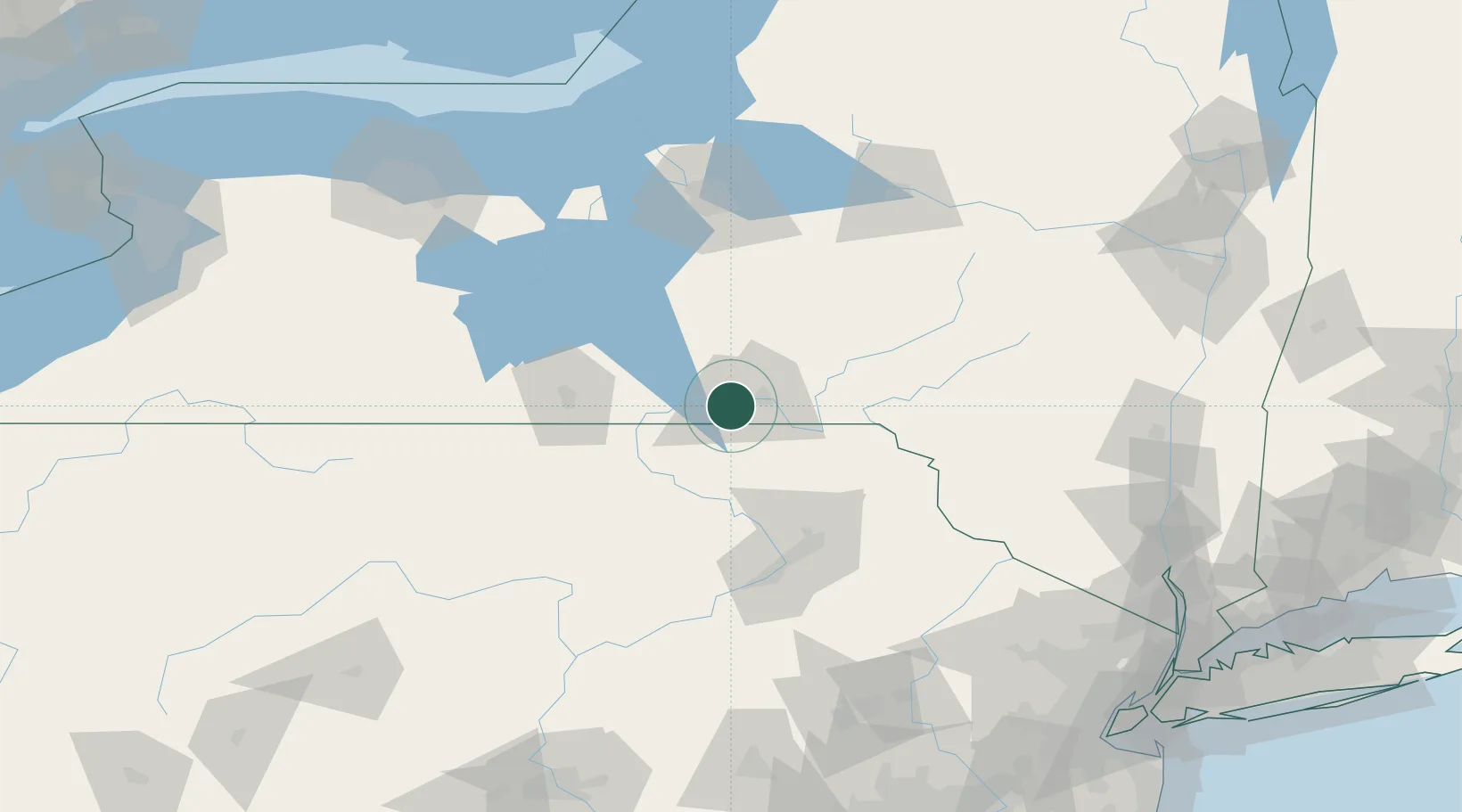
Place type
Populated place
Region
New York
Population
28,043
Time zone
America/New_York
Elevation
253 m
Location
Nearby Logistics Neighbours
Cities
- 1Chenango Bridge18 km
- 2Nixon18 km
- 3Conklin21 km
- 4Catatonk22 km
- 5Kirkwood23 km
Ports
- 1Sodus Bay152 km
- 2Oswego159 km
- 3Rochester183 km
- 4Newark221 km
- 5Elizabethport223 km
Airports
Trade Zones
DatabookThe Record of Consolidated Knowledge
United States beyond logistics?