Transport Functions
Rail
Road
Multimodal
Hub Profile
Place type
Populated place
Region
New York
Time zone
America/New_York
Elevation
272 m
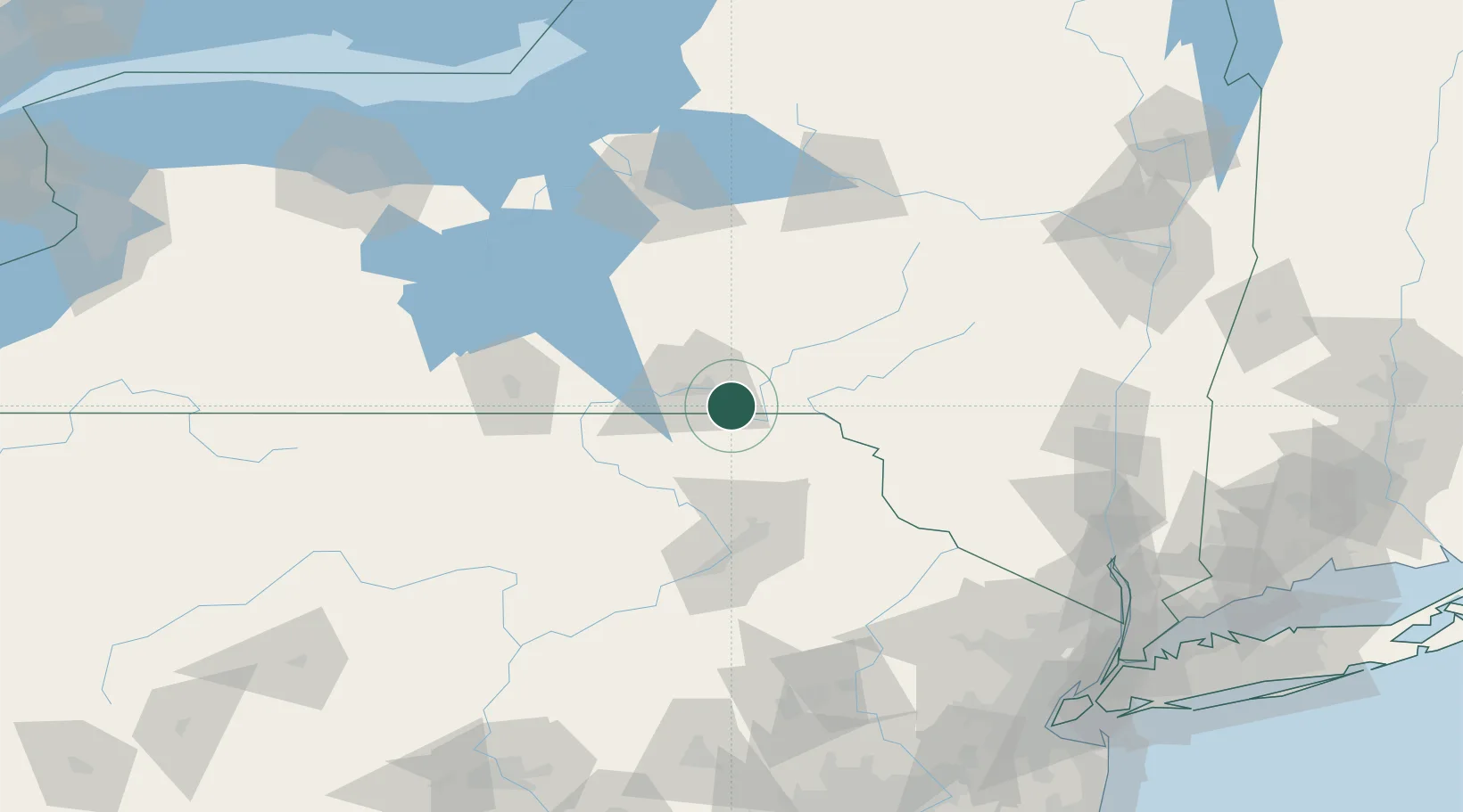
Location
Nearby Logistics Neighbours
Cities
- 1Conklin1 km
- 2Hallstead8 km
- 3Chenango Bridge16 km
- 4Susquehanna18 km
- 5Vestal23 km
Ports
- 1Kingston151 km
- 2Poughkeepsie156 km
- 3Newburgh159 km
- 4Catskill161 km
- 5Sodus Bay169 km
Airports
Trade Zones
DatabookThe Record of Consolidated Knowledge
United States beyond logistics?