UN/LOCODE hub · United States
USDGE
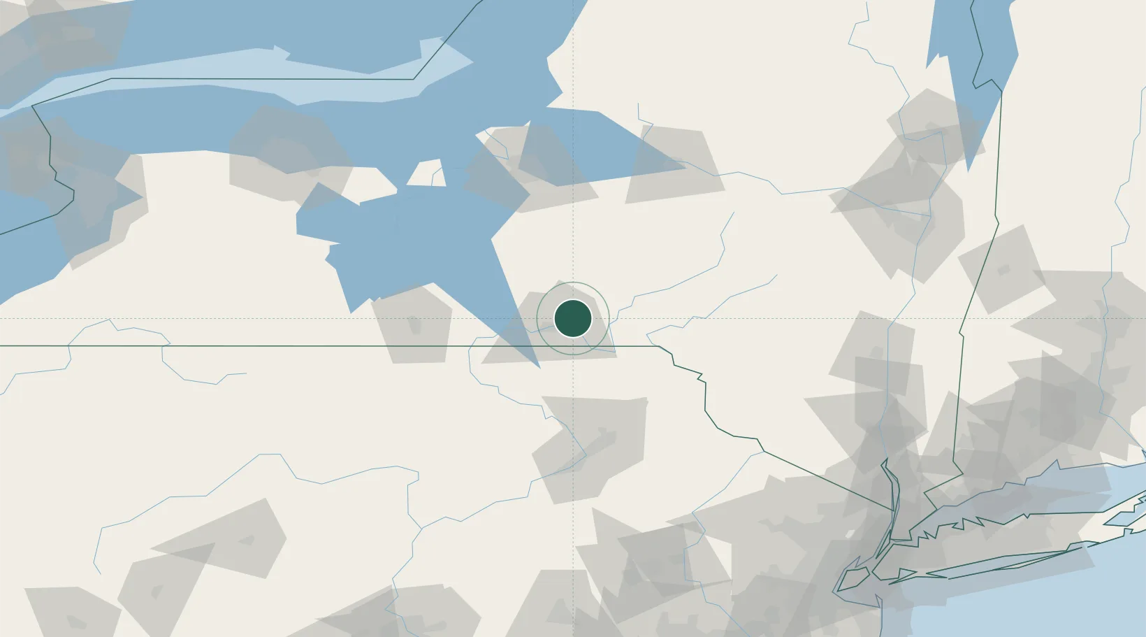
Chenango Bridge
42.1667°, -75.8667°
2,883
Population
3
Transport functions
Transport Functions
Port
Rail
Road
Hub Profile
Place type
Populated place
Region
New York
Population
2,883
Time zone
America/New_York
Elevation
273 m
Location
Nearby Logistics Neighbours
Ports
- 1Sodus Bay153 km
- 2Oswego154 km
- 3Kingston159 km
- 4Catskill166 km
- 5Poughkeepsie167 km
Airports
Trade Zones
- 1FTZ No. 024 Pittston94 km
- 2FTZ No. 037 Orange County117 km
- 3FTZ No. 172 Oneida County120 km
- 4FTZ No. 090 Onondaga153 km
- 5FTZ No. 289 Ontario County157 km
DatabookThe Record of Consolidated Knowledge
United States beyond logistics?