Transport Functions
Rail
Road
Airport
Multimodal
Hub Profile
Place type
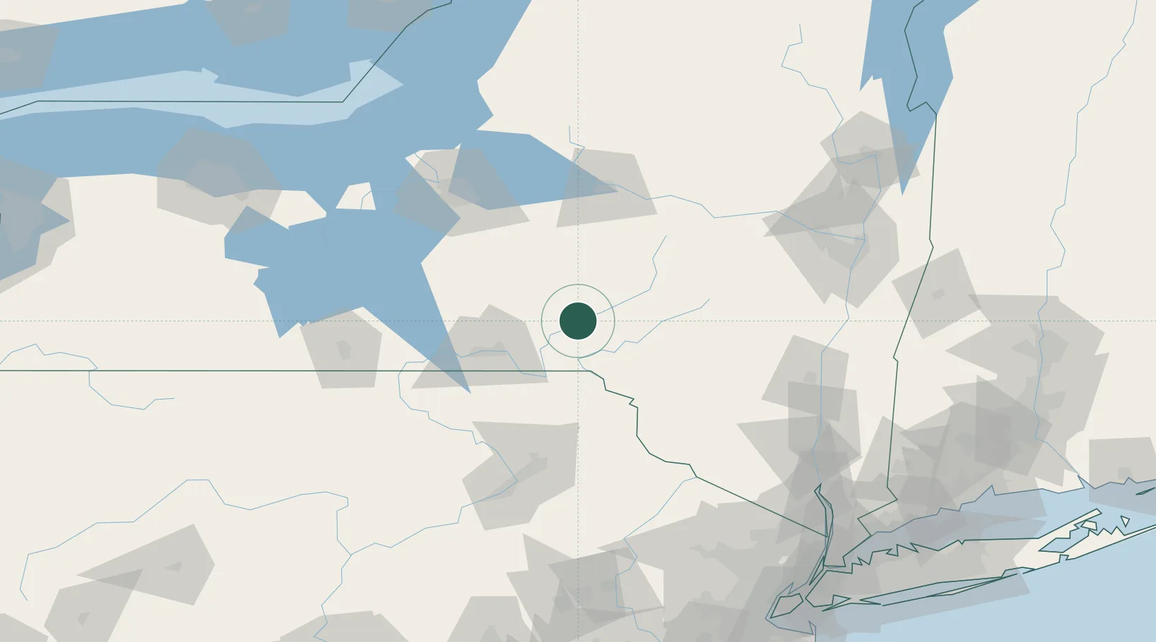
Populated place
Region
New York
Population
3,755
Time zone
America/New_York
Elevation
302 m
Location
Nearby Logistics Neighbours
Cities
- 1Greene29 km
- 2Danville34 km
- 3New Berlin38 km
- 4Delhi40 km
- 5Chenango Bridge40 km
Ports
- 1Kingston126 km
- 2Catskill129 km
- 3Poughkeepsie138 km
- 4Albany142 km
- 5Rensselaer142 km
Airports
Trade Zones
- 1FTZ No. 037 Orange County110 km
- 2FTZ No. 024 Pittston113 km
- 3FTZ No. 172 Oneida County116 km
- 4FTZ No. 121 Albany139 km
- 5FTZ No. 090 Onondaga158 km
DatabookThe Record of Consolidated Knowledge
United States beyond logistics?