Transport Functions
Road
Multimodal
Hub Profile
Place type
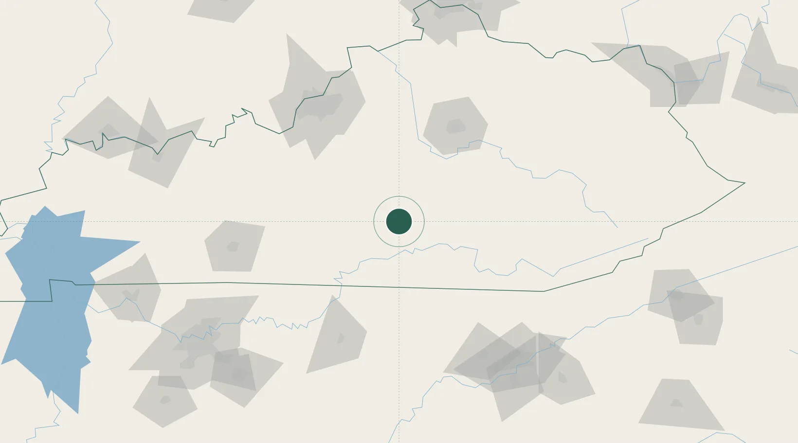
Populated place
Region
Kentucky
Time zone
America/New_York
Elevation
227 m
Location
Nearby Logistics Neighbours
Cities
- 1Liberty14 km
- 2Beaver Dam25 km
- 3Elk Horn27 km
- 4Science Hill33 km
- 5Bronston42 km
Ports
- 1Sandusky512 km
- 2Port Clinton512 km
- 3Huron512 km
- 4Toledo517 km
- 5Vermilion522 km
Airports
Trade Zones
- 1FTZ No. 029 Louisville138 km
- 2FTZ No. 148 Knoxville151 km
- 3FTZ No. 047 Boone County196 km
- 4FTZ No. 046 CIncinnati216 km
- 5FTZ No. 078 Nashville216 km
DatabookThe Record of Consolidated Knowledge
United States beyond logistics?