UN/LOCODE hub · United States
USRAE
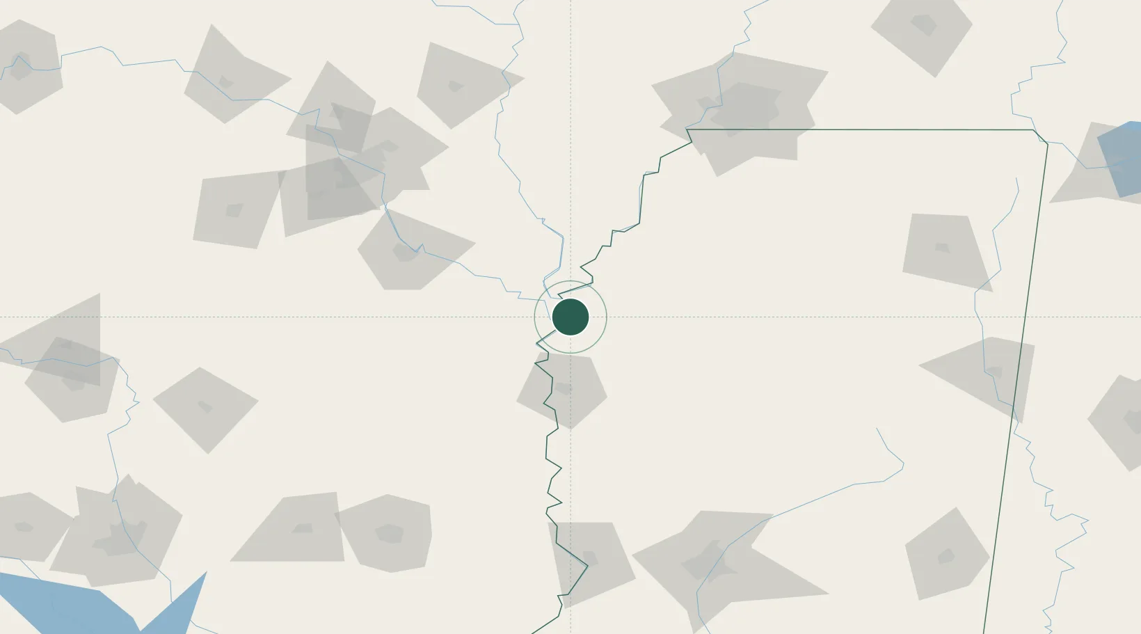
Rosedale
33.8500°, -91.0167°
1,756
Population
3
Transport functions
Transport Functions
Rail
Road
Multimodal
Hub Profile
Place type
Populated place
Region
Mississippi
Population
1,756
Time zone
America/Chicago
Elevation
46 m
Location
Nearby Logistics Neighbours
Cities
- 1Scott30 km
- 2Cypress Bend33 km
- 3Lamont36 km
- 4McGehee43 km
- 5Mellwood43 km
Ports
- 1Port Of Memphis156 km
- 2Baton Rouge378 km
- 3Madisonville392 km
- 4Slidell415 km
- 5Reserve425 km
Airports
Trade Zones
- 1FTZ No. 287 Tunica County95 km
- 2FTZ No. 014 Little Rock145 km
- 3FTZ No. 262 Southaven152 km
- 4FTZ No. 077 Memphis159 km
- 5FTZ No. 273 West Memphis163 km
DatabookThe Record of Consolidated Knowledge
United States beyond logistics?