UN/LOCODE hub · United States
USXML
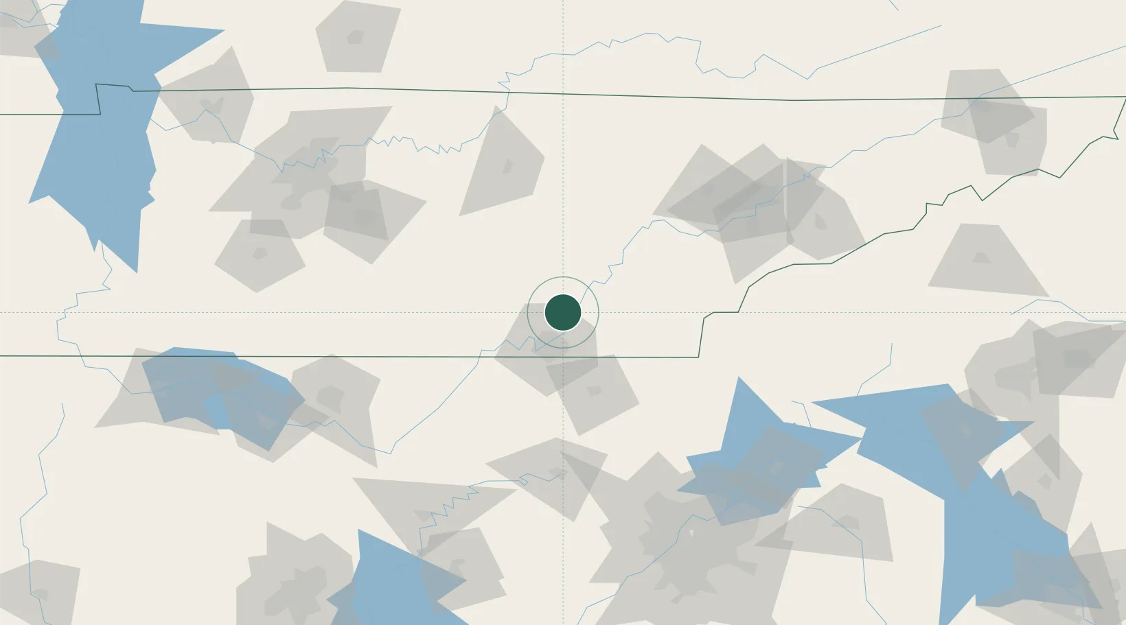
Soddy-Daisy
35.2667°, -85.1667°
13,171
Population
2
Transport functions
Transport Functions
Rail
Road
Hub Profile
Place type
Populated place
Region
Tennessee
Population
13,171
Time zone
America/New_York
Elevation
213 m
Location
Nearby Logistics Neighbours
Cities
- 1Sale Creek14 km
- 2Chattanooga20 km
- 3Georgetown21 km
- 4Dunlap23 km
- 5McDonald24 km
Ports
- 1Savannah518 km
- 2Beaufort521 km
- 3Port Royal525 km
- 4Darien555 km
- 5Brunswick571 km
Airports
Trade Zones
- 1FTZ No. 134 Chattanooga27 km
- 2FTZ No. 148 Knoxville117 km
- 3FTZ No. 083 Huntsville161 km
- 4FTZ No. 270 Lawrence County174 km
- 5FTZ No. 265 Conroe (Montgomery County)176 km
DatabookThe Record of Consolidated Knowledge
United States beyond logistics?