Transport Functions
Rail
Road
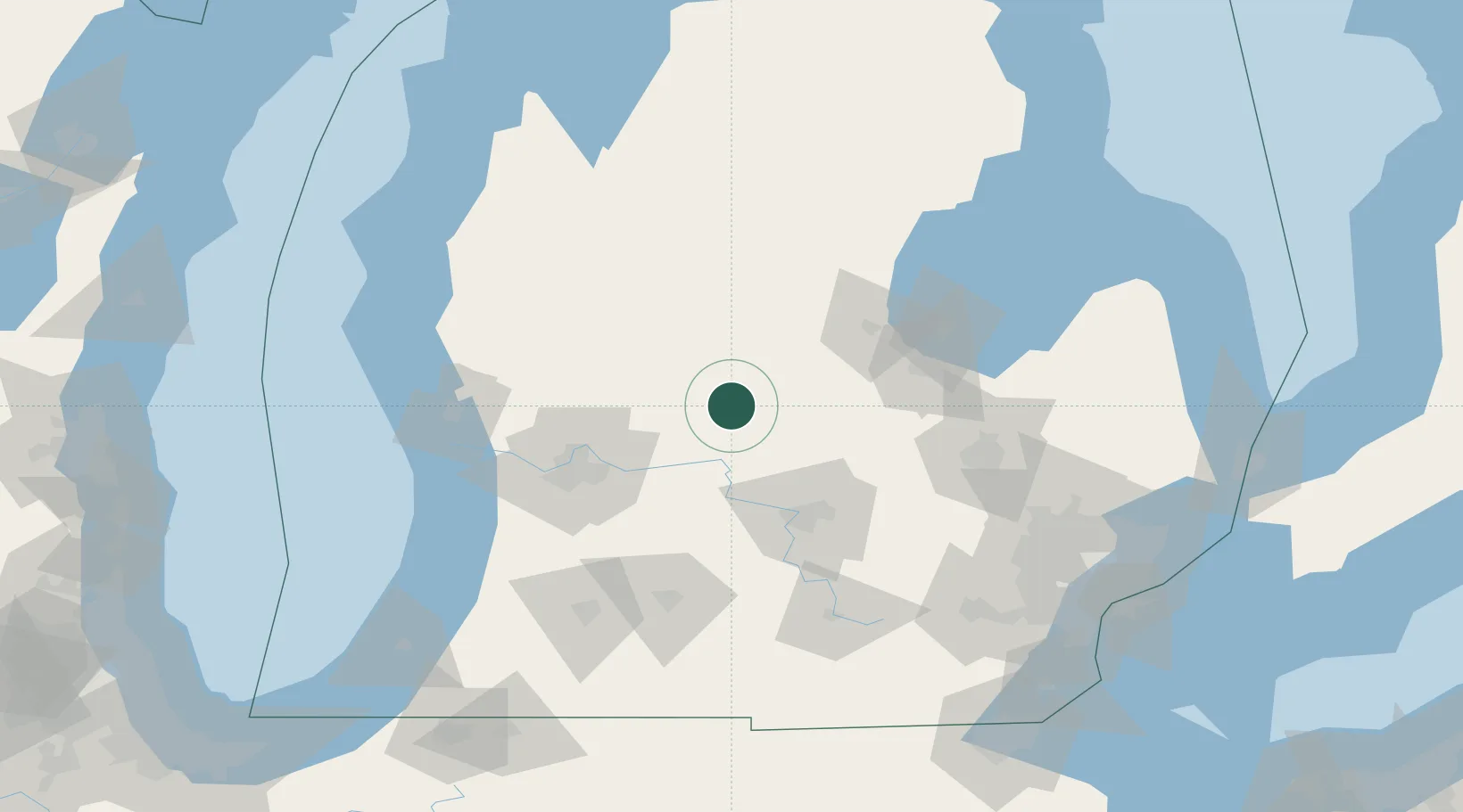
Hub Profile
Place type
Populated place
Region
Michigan
Time zone
America/Detroit
Elevation
250 m
Location
Nearby Logistics Neighbours
Cities
- 1White13 km
- 2Sheridan15 km
- 3Cedar Lake18 km
- 4Middleton18 km
- 5Edmore20 km
Ports
- 1Saginaw81 km
- 2Bay City92 km
- 3Grand Haven110 km
- 4Muskegon111 km
- 5Holland113 km
Airports
Trade Zones
DatabookThe Record of Consolidated Knowledge
United States beyond logistics?