Transport Functions
Rail
Road
Multimodal
Hub Profile
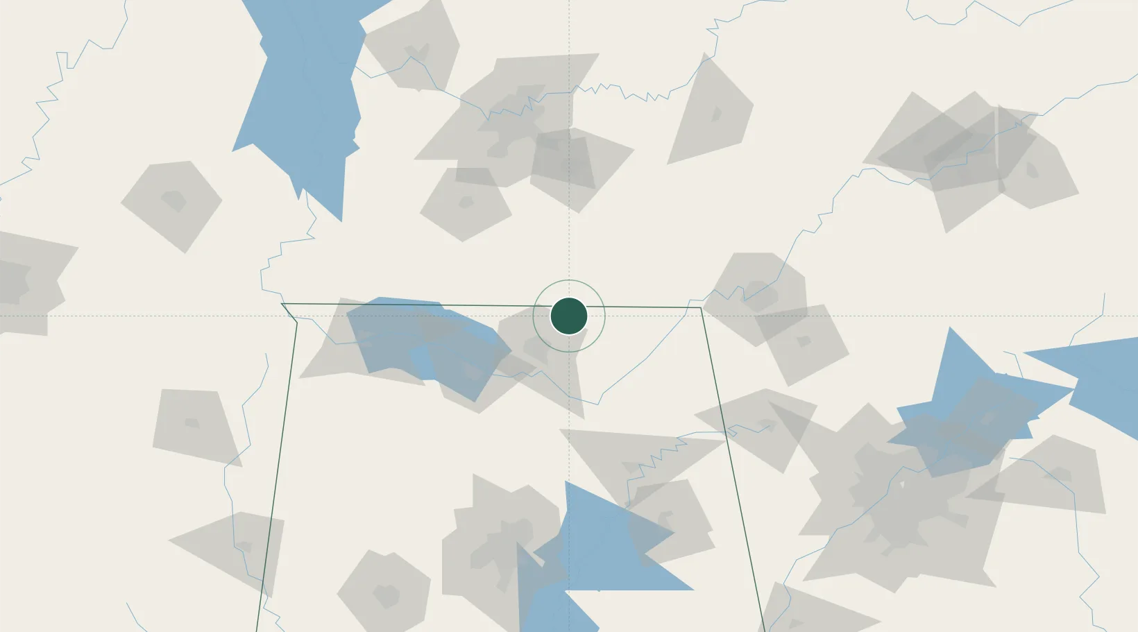
Region
AL
Location
Nearby Logistics Neighbours
Cities
- 1Elora11 km
- 2Brownsboro22 km
- 3Gurley26 km
- 4Toney29 km
- 5Rainbow35 km
Ports
- 1Port Of Memphis342 km
- 2Mobile499 km
- 3Pensacola510 km
- 4Panama City539 km
- 5Pascagoula548 km
Airports
Trade Zones
DatabookThe Record of Consolidated Knowledge
United States beyond logistics?