Transport Functions
Rail
Road
Hub Profile
Place type
Populated place
Region
Tennessee
Time zone
America/Chicago
Elevation
283 m
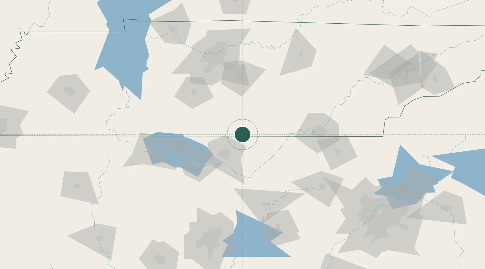
Location
Nearby Logistics Neighbours
Cities
- 1Hillsboro, Madison11 km
- 2Brownsboro32 km
- 3Decherd33 km
- 4Gurley35 km
- 5Toney37 km
Ports
- 1Port Of Memphis348 km
- 2Mobile509 km
- 3Pensacola520 km
- 4Panama City547 km
- 5Pascagoula559 km
Airports
Trade Zones
DatabookThe Record of Consolidated Knowledge
United States beyond logistics?