Transport Functions
Road
Multimodal
Hub Profile
Place type
Populated place
Region
Pennsylvania
Time zone
America/New_York
Elevation
239 m
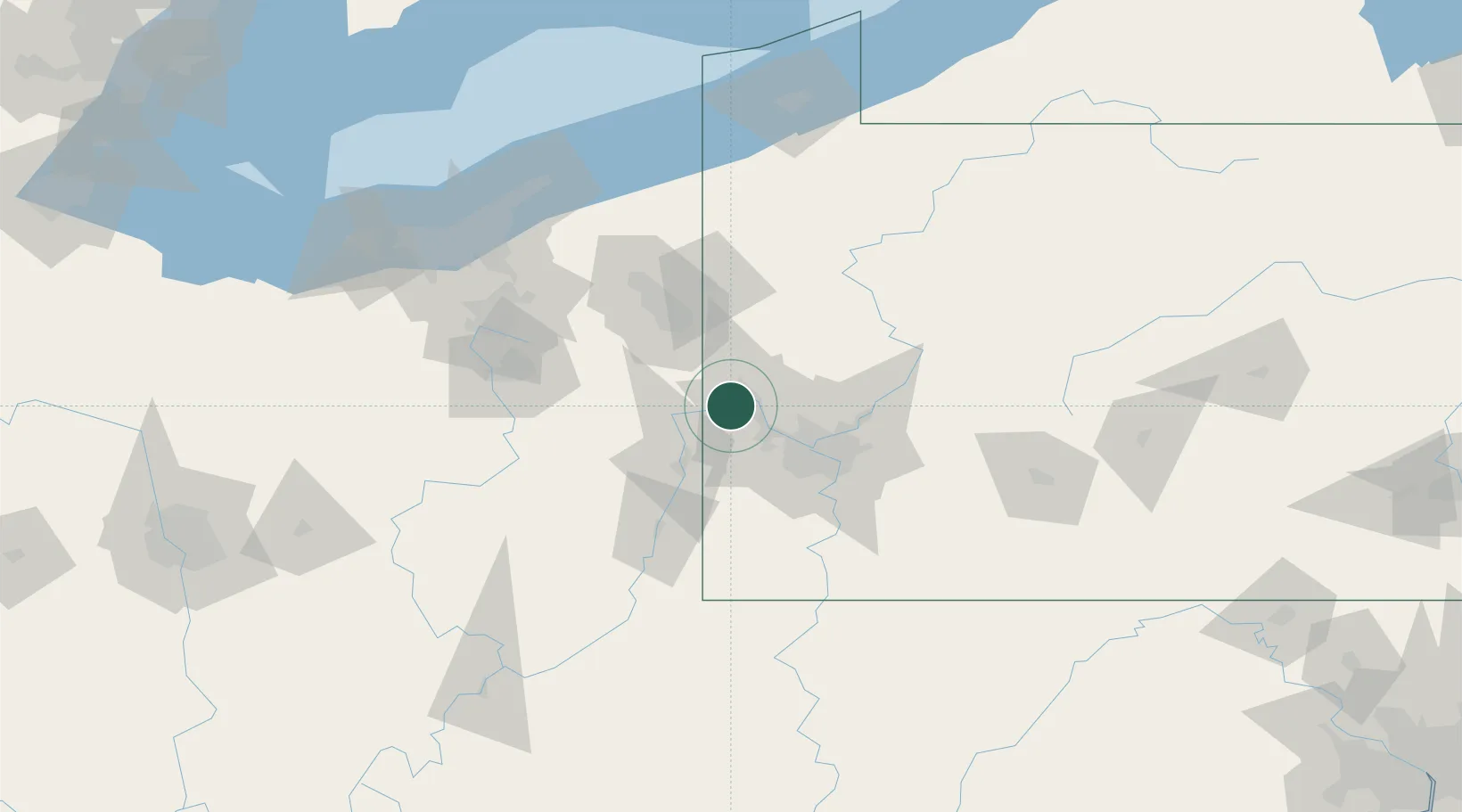
Location
Nearby Logistics Neighbours
Airports
Trade Zones
- 1FTZ No. 033 Pittsburgh37 km
- 2FTZ No. 181 Akron Canton119 km
- 3FTZ No. 295 Central Pennsylvania149 km
- 4FTZ No. 040 Cleveland155 km
- 5FTZ No. 254 Jefferson County163 km
DatabookThe Record of Consolidated Knowledge
United States beyond logistics?