Transport Functions
Rail
Road
Multimodal
Hub Profile
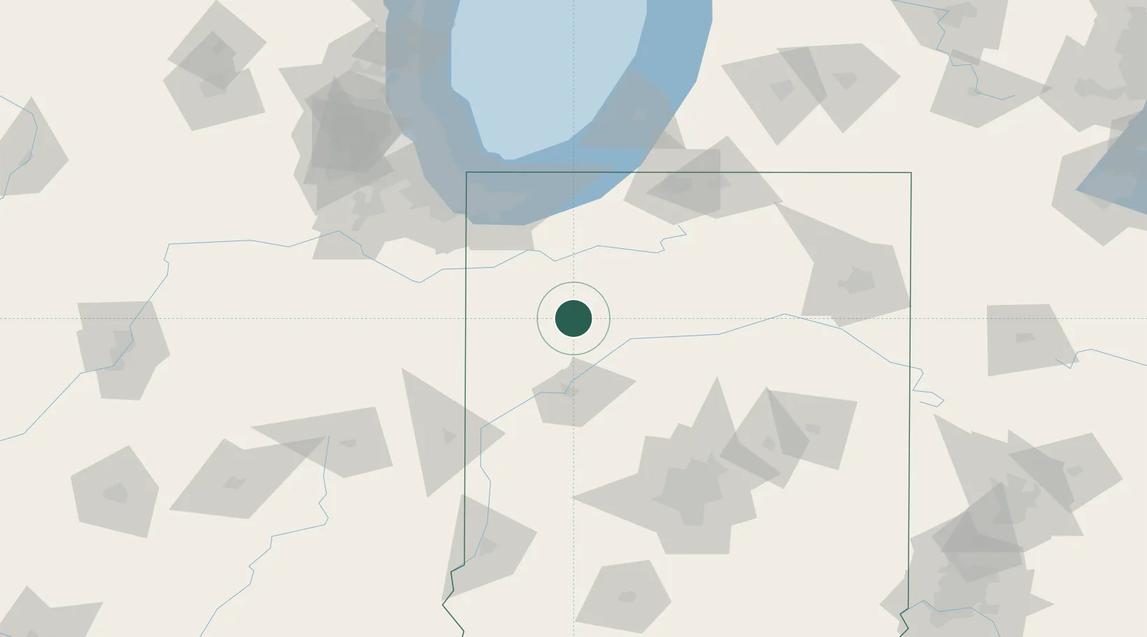
Place type
Populated place
Region
Indiana
Population
1,746
Time zone
America/Indiana/Indianapolis
Elevation
207 m
Location
Nearby Logistics Neighbours
Cities
- 1Buffalo11 km
- 2Francesville13 km
- 3Monticello18 km
- 4Collegeville25 km
- 5Brookston30 km
Ports
- 1Gary92 km
- 2Michigan City96 km
- 3Indiana Harbor101 km
- 4Calumet Harbor111 km
- 5Chicago129 km
Airports
Trade Zones
- 1FTZ No. 152 Burns Harbor88 km
- 2FTZ No. 125 South Bend100 km
- 3FTZ No. 182 Fort Wayne134 km
- 4FTZ No. 072 Indianapolis136 km
- 5FTZ No. 022 Chicago136 km
DatabookThe Record of Consolidated Knowledge
United States beyond logistics?